Transport Functions
Port
Rail
Road
Multimodal
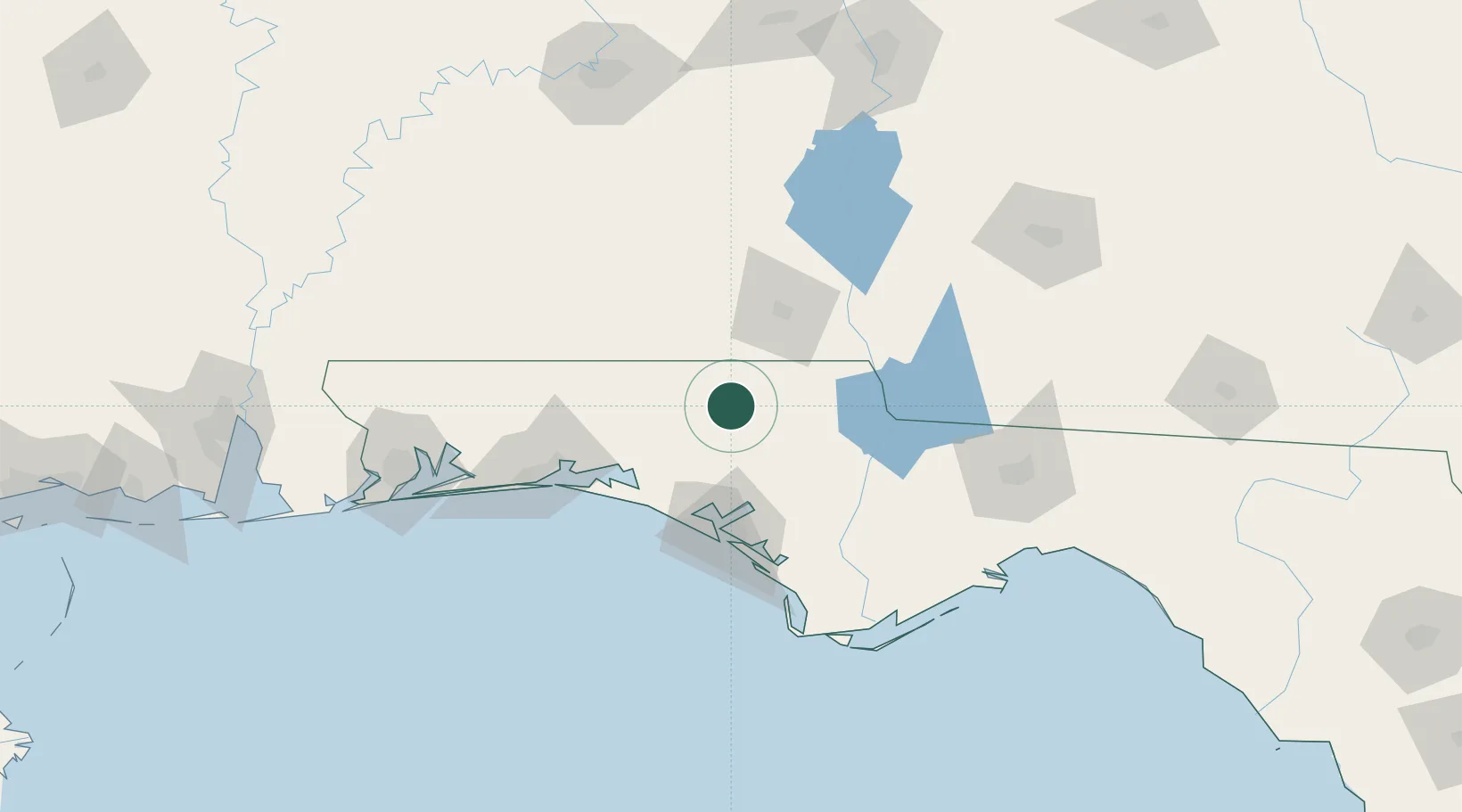
Hub Profile
Place type
Provincial seat
Region
Florida
Population
2,726
Time zone
America/Chicago
Elevation
41 m
Location
Nearby Logistics Neighbours
Cities
- 1Ponce de Leon27 km
- 2Campbellton32 km
- 3Hartford35 km
- 4De Funiak Springs42 km
- 5Freeport56 km
Ports
- 1Panama City72 km
- 2Port St Joe113 km
- 3Apalachicola136 km
- 4Carrabelle141 km
- 5Pensacola154 km
Airports
Trade Zones
- 1FTZ No. 233 Dothan55 km
- 2FTZ No. 065 Panama City65 km
- 3FTZ No. 249 Pensacola158 km
- 4FTZ No. 222 Montgomery187 km
- 5FTZ No. 082 Mobile232 km
DatabookThe Record of Consolidated Knowledge
United States beyond logistics?