Transport Functions
Port
Hub Profile
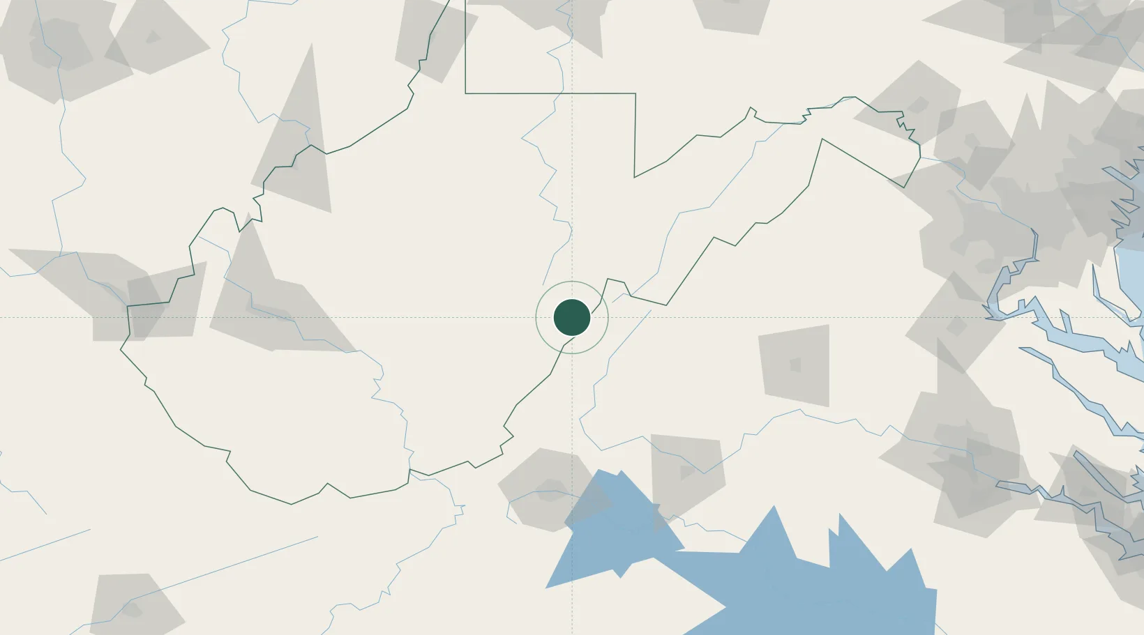
Place type
Populated place
Region
West Virginia
Time zone
America/New_York
Elevation
755 m
Location
Nearby Logistics Neighbours
Cities
- 1Snowshoe12 km
- 2Bartow22 km
- 3Viche48 km
- 4Goshen52 km
- 5Augusta Springs56 km
Ports
- 1Fredericksburg211 km
- 2Richmond233 km
- 3Alexandria251 km
- 4Washington D.C.253 km
- 5West Point284 km
Airports
Trade Zones
DatabookThe Record of Consolidated Knowledge
United States beyond logistics?