Transport Functions
Multimodal
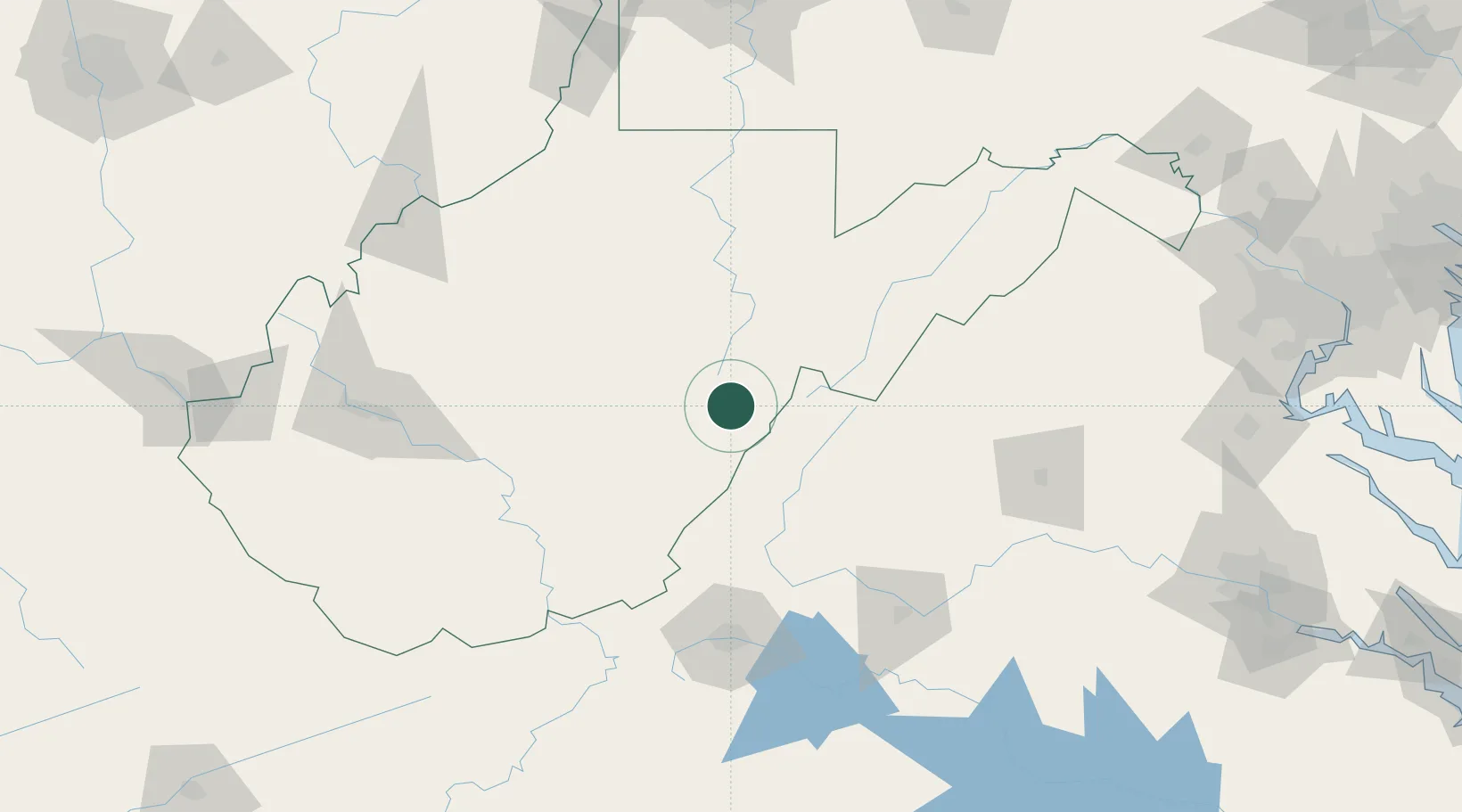
Hub Profile
Place type
Populated place
Region
West Virginia
Time zone
America/New_York
Elevation
1,219 m
Location
Nearby Logistics Neighbours
Cities
- 1Dunmore12 km
- 2Bartow23 km
- 3Cowen, Webster51 km
- 4Richwood52 km
- 5Viche58 km
Ports
- 1Fredericksburg221 km
- 2Richmond245 km
- 3Alexandria260 km
- 4Washington D.C.261 km
- 5West Point295 km
Airports
Trade Zones
- 1FTZ No. 229 Charleston151 km
- 2FTZ No. 238 Dublin158 km
- 3FTZ No. 185 Culpeper County167 km
- 4FTZ No. 240 Martinsburg208 km
- 5FTZ No. 033 Pittsburgh226 km
DatabookThe Record of Consolidated Knowledge
United States beyond logistics?