Medium airport · United States

Shenandoah Valley Regional AirportKSHD
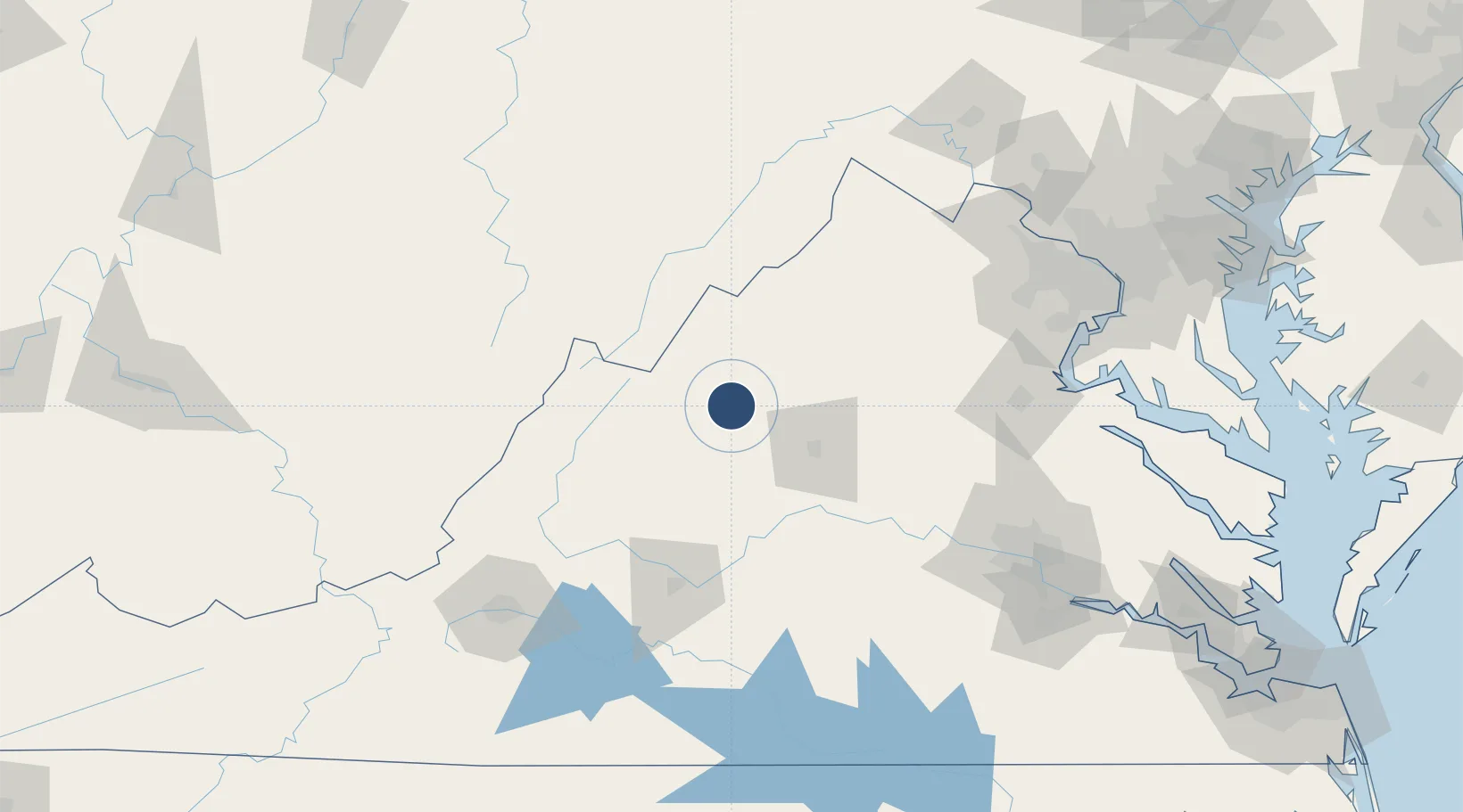
38.2638°, -78.8964°
6,002 ft
Longest runway
1
Runways
1,201 ft
Elevation

Runway & Layout

Shenandoah Valley Regional Airport runway & taxiway layout
Runway & taxiway layout — OpenStreetMap (ODbL) / OurAirports

Radio Frequencies

AWOS
124.925 MHz
AWOS 3
A/D
132.85 MHz
POTOMAC APP/DEP
RDO
115.3 MHz
LEESBURG RDO
UNIC
123 MHz
CTAF/UNICOM
OurAirports

Runways · 1

RunwayDimensions SurfaceTrue headingLit
05/23 6,002 × 150ft Asphalt 038°
OurAirports

Airport Specifications

IATA code
SHD
OurAirports
ICAO code
KSHD
OurAirports
Airport class
Medium airport
OurAirports
Scheduled service
Yes
OurAirports
Runway surface
Asphalt
OurAirports
Served city
Weyers Cave
OurAirports

Location

Location of KSHD
Natural Earth 10m (public domain) · Virginia · KSHD · 38.26, -78.90GoogleOSMYandex

Nearby Logistics Neighbours

Cities
  1. 1Port Republic8 km
  2. 2Mount Crawford10 km
  3. 3Bridgewater13 km
  4. 4Crimora13 km
  5. 5Mcgaheysville19 km
Nearest neighbours — logibook spatial index (haversine) over the source coordinates
Ports
  1. 1Fredericksburg126 km
  2. 2Richmond153 km
  3. 3Alexandria173 km
  4. 4Washington D.C.175 km
  5. 5West Point201 km
Nearest neighbours — logibook spatial index (haversine) over the source coordinates
Trade Zones
  1. 1FTZ No. 185 Culpeper County77 km
  2. 2FTZ No. 207 Richmond143 km
  3. 3FTZ No. 137 Washington Dulles International Airport147 km
  4. 4FTZ No. 240 Martinsburg154 km
  5. 5FTZ No. 063 PrInce Georges County164 km
Nearest neighbours — logibook spatial index (haversine) over the source coordinates
DatabookThe Record of Consolidated Knowledge
United States beyond logistics?
Browse databook

All Sources

AirportsOurAirports
Public domain
Portsthe NGA World Port Index
Public domain (US gov)
LocationsUN/LOCODE
UN/LOCODE — free
Trade Zonesthe World Bank SEZ database
CC BY 4.0
Trade ZonesOpen Zone Map
CC BY
InfrastructureOpenStreetMap
ODbL 1.0
← United States airports