Transport Functions
Rail
Road
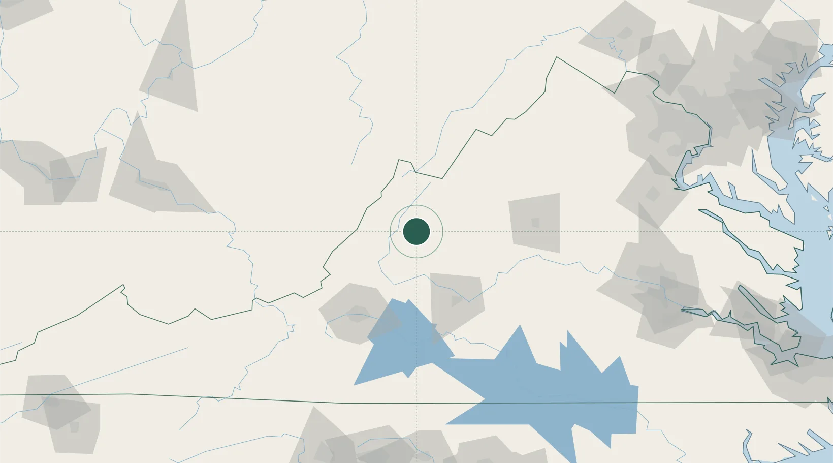
Hub Profile
Place type
Populated place
Region
Virginia
Population
354
Time zone
America/New_York
Elevation
428 m
Location
Nearby Logistics Neighbours
Cities
- 1Viche5 km
- 2Augusta Springs21 km
- 3Buena Vista30 km
- 4Swoope32 km
- 5Glasgow39 km
Ports
- 1Fredericksburg183 km
- 2Richmond190 km
- 3Alexandria233 km
- 4Washington D.C.236 km
- 5West Point243 km
Airports
Trade Zones
- 1FTZ No. 185 Culpeper County138 km
- 2FTZ No. 238 Dublin145 km
- 3FTZ No. 207 Richmond178 km
- 4FTZ No. 229 Charleston198 km
- 5FTZ No. 230 Piedmont Triad Area208 km
DatabookThe Record of Consolidated Knowledge
United States beyond logistics?