Medium airport · United States

North Central West Virginia AirportKCKB
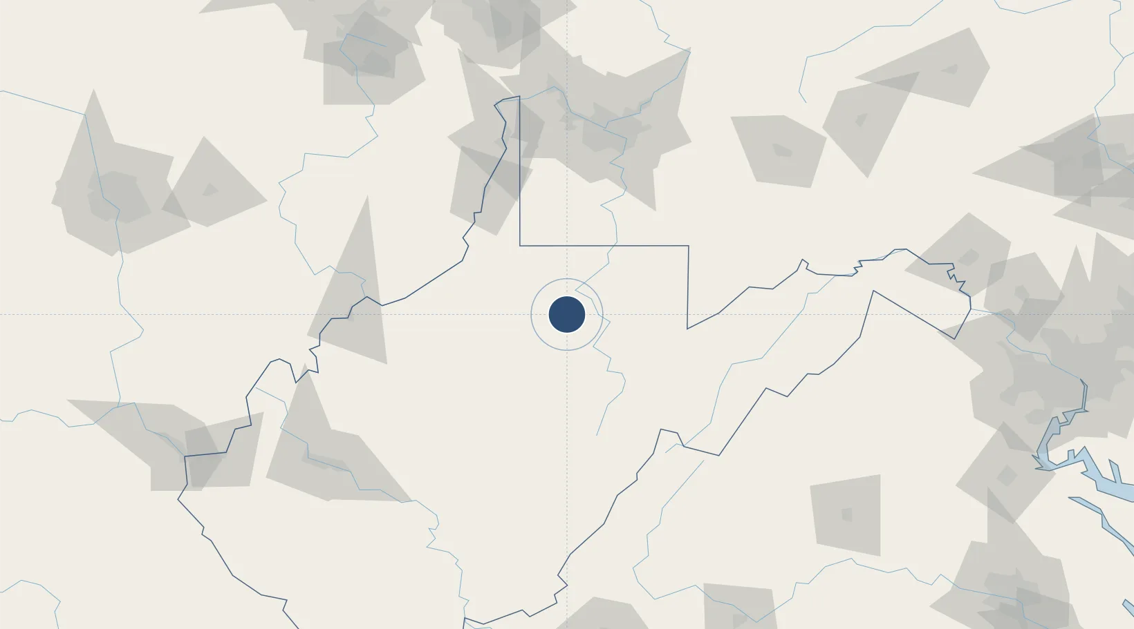
39.2966°, -80.2281°
7,800 ft
Longest runway
1
Runways
1,217 ft
Elevation

Runway & Layout

North Central West Virginia Airport runway & taxiway layout
Runway & taxiway layout — OpenStreetMap (ODbL) / OurAirports

Radio Frequencies

ATIS
127.825 MHz
TWR
126.7 MHz
CLARKSBURG TWR
GND
121.9 MHz
CTAF
126.7 MHz
A/D
119.6 MHz
CLARKSBURG APP/DEP
OPS
139.05 MHz
ARNG OPS
RDO
112.6 MHz
ELKINS RDO
UNIC
123 MHz
UNICOM
OurAirports

Navaids

CKB VOR-DME Clarksburg 112.60 MHz
OurAirports

Runways · 1

RunwayDimensions SurfaceTrue headingLit
03/21 7,800 × 150ft Asphalt 023°
OurAirports

Airport Specifications

IATA code
CKB
OurAirports
ICAO code
KCKB
OurAirports
Airport class
Medium airport
OurAirports
Scheduled service
Yes
OurAirports
Runway surface
Asphalt
OurAirports
Served city
Bridgeport
OurAirports

Location

Location of KCKB
Natural Earth 10m (public domain) · West Virginia · KCKB · 39.30, -80.23GoogleOSMYandex

Nearby Logistics Neighbours

Airports
  1. 1Morgantown Municipal Airport Walter L. (Bill) Hart Field47 km
  2. 2Elkins-Randolph County Regional Airport55 km
  3. 3Wheeling Ohio County Airport104 km
  4. 4Mid Ohio Valley Regional Airport104 km
  5. 5Allegheny County Airport120 km
Nearest neighbours — logibook spatial index (haversine) over the source coordinates
Cities
  1. 1Adamston11 km
  2. 2Worthington17 km
  3. 3Grafton19 km
  4. 4Farmington23 km
  5. 5Jane Lew26 km
Nearest neighbours — logibook spatial index (haversine) over the source coordinates
Ports
  1. 1Fredericksburg265 km
  2. 2Cleveland276 km
  3. 3Washington D.C.280 km
  4. 4Alexandria281 km
  5. 5Fairport289 km
Nearest neighbours — logibook spatial index (haversine) over the source coordinates
Trade Zones
  1. 1FTZ No. 033 Pittsburgh127 km
  2. 2FTZ No. 229 Charleston167 km
  3. 3FTZ No. 240 Martinsburg192 km
  4. 4FTZ No. 185 Culpeper County207 km
  5. 5FTZ No. 181 Akron Canton225 km
Nearest neighbours — logibook spatial index (haversine) over the source coordinates
DatabookThe Record of Consolidated Knowledge
United States beyond logistics?
Browse databook

All Sources

AirportsOurAirports
Public domain
Portsthe NGA World Port Index
Public domain (US gov)
LocationsUN/LOCODE
UN/LOCODE — free
Trade Zonesthe World Bank SEZ database
CC BY 4.0
Trade ZonesOpen Zone Map
CC BY
InfrastructureOpenStreetMap
ODbL 1.0
← United States airports