Transport Functions
Port
Multimodal
Hub Profile
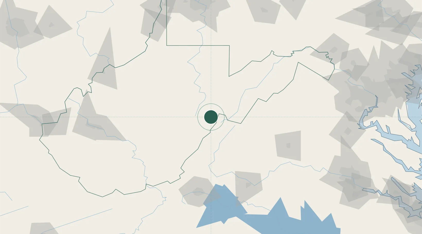
Place type
Populated place
Region
West Virginia
Population
111
Time zone
America/New_York
Elevation
845 m
Location
Nearby Logistics Neighbours
Cities
- 1Dunmore22 km
- 2Snowshoe23 km
- 3Franklin42 km
- 4Fairview45 km
- 5Bellington57 km
Ports
- 1Fredericksburg205 km
- 2Richmond235 km
- 3Alexandria241 km
- 4Washington D.C.242 km
- 5West Point284 km
Airports
Trade Zones
DatabookThe Record of Consolidated Knowledge
United States beyond logistics?