Medium airport · United States

Elkins-Randolph County Regional AirportKEKN
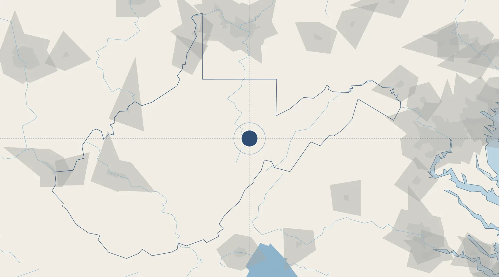
38.8898°, -79.8577°
4,544 ft
Longest runway
2
Runways
1,987 ft
Elevation

Runway & Layout

Elkins-Randolph County Regional Airport runway & taxiway layout
Runway & taxiway layout — OpenStreetMap (ODbL) / OurAirports

Radio Frequencies

ASOS
119.275 MHz
CTAF
123.6 MHz
A/D
121.15 MHz
CLARKSBURG APP/DEP
RDO
122.2 MHz
OurAirports

Navaids

EKN VORTAC Elkins 114.20 MHz
RQY NDB Randolph Co 284 kHz
OurAirports

Runways · 2

RunwayDimensions SurfaceTrue headingLit
14/32 4,544 × 140ft Asphalt 129°
05/23 4,501 × 75ft Asphalt 039°
OurAirports

Airport Specifications

IATA code
EKN
OurAirports
ICAO code
KEKN
OurAirports
Airport class
Medium airport
OurAirports
Scheduled service
No
OurAirports
Runway surface
Asphalt
OurAirports
Served city
Elkins
OurAirports

Location

Location of KEKN
Natural Earth 10m (public domain) · West Virginia · KEKN · 38.89, -79.86GoogleOSMYandex

Nearby Logistics Neighbours

Airports
  1. 1North Central West Virginia Airport55 km
  2. 2Morgantown Municipal Airport Walter L. (Bill) Hart Field84 km
  3. 3Shenandoah Valley Regional Airport109 km
  4. 4Greenbrier Valley Airport124 km
  5. 5Mid Ohio Valley Regional Airport146 km
Nearest neighbours — logibook spatial index (haversine) over the source coordinates
Cities
  1. 1Fairview8 km
  2. 2Bellington18 km
  3. 3Bartow40 km
  4. 4Thomas42 km
  5. 5Evansville49 km
Nearest neighbours — logibook spatial index (haversine) over the source coordinates
Ports
  1. 1Fredericksburg219 km
  2. 2Washington D.C.245 km
  3. 3Alexandria245 km
  4. 4Richmond261 km
  5. 5Baltimore286 km
Nearest neighbours — logibook spatial index (haversine) over the source coordinates
Trade Zones
  1. 1FTZ No. 185 Culpeper County161 km
  2. 2FTZ No. 033 Pittsburgh172 km
  3. 3FTZ No. 240 Martinsburg172 km
  4. 4FTZ No. 229 Charleston172 km
  5. 5FTZ No. 137 Washington Dulles International Airport208 km
Nearest neighbours — logibook spatial index (haversine) over the source coordinates
DatabookThe Record of Consolidated Knowledge
United States beyond logistics?
Browse databook

All Sources

AirportsOurAirports
Public domain
Portsthe NGA World Port Index
Public domain (US gov)
LocationsUN/LOCODE
UN/LOCODE — free
Trade Zonesthe World Bank SEZ database
CC BY 4.0
Trade ZonesOpen Zone Map
CC BY
InfrastructureOpenStreetMap
ODbL 1.0
← United States airports