UN/LOCODE hub · Ecuador
ECVIC

Viche

38.0000°, -79.5500°
1
Transport functions

Transport Functions

Multimodal
UN/LOCODE

Hub Profile

Place type
District seat
GeoNames
Region
Esmeraldas
GeoNames
Time zone
America/Guayaquil
GeoNames
Elevation
35 m
GeoNames

Location

Location of ECVIC
Natural Earth 10m (public domain) · Esmeraldas · ECVIC · 38.00, -79.55GoogleOSMYandex

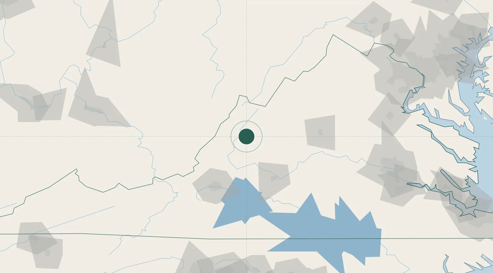
Nearby Logistics Neighbours

Cities
  1. 1Goshen5 km
  2. 2Augusta Springs23 km
  3. 3Buena Vista34 km
  4. 4Swoope35 km
  5. 5Low Moor38 km
Nearest neighbours — logibook spatial index (haversine) over the source coordinates
Ports
  1. 1Fredericksburg187 km
  2. 2Richmond195 km
  3. 3Alexandria237 km
  4. 4Washington D.C.239 km
  5. 5West Point247 km
Nearest neighbours — logibook spatial index (haversine) over the source coordinates
Airports
  1. 1Shenandoah Valley Regional Airport64 km
  2. 2Greenbrier Valley Airport76 km
  3. 3Lynchburg Regional Airport - Preston Glenn Field81 km
  4. 4Roanoke–Blacksburg Regional Airport84 km
  5. 5Charlottesville Albemarle Airport97 km
Nearest neighbours — logibook spatial index (haversine) over the source coordinates
Trade Zones
  1. 1FTZ No. 185 Culpeper County141 km
  2. 2FTZ No. 238 Dublin143 km
  3. 3FTZ No. 207 Richmond183 km
  4. 4FTZ No. 229 Charleston193 km
  5. 5FTZ No. 230 Piedmont Triad Area208 km
Nearest neighbours — logibook spatial index (haversine) over the source coordinates
DatabookThe Record of Consolidated Knowledge
Ecuador beyond logistics?
Browse databook

All Sources

LocationsUN/LOCODE
UN/LOCODE — free
Portsthe NGA World Port Index
Public domain (US gov)
AirportsOurAirports
Public domain
Trade Zonesthe World Bank SEZ database
CC BY 4.0
Trade ZonesOpen Zone Map
CC BY
← Ecuador locations