UN/LOCODE hub · United States
USVAU
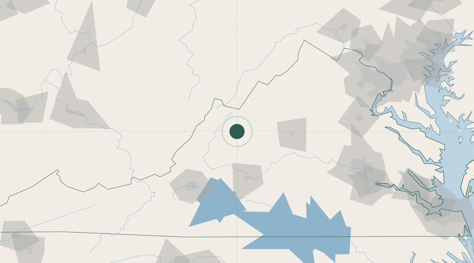
Augusta Springs
38.1000°, -79.3167°
257
Population
1
Transport functions
Transport Functions
Port
Hub Profile
Place type
Populated place
Region
Virginia
Population
257
Time zone
America/New_York
Elevation
495 m
Location
Nearby Logistics Neighbours
Cities
- 1Swoope12 km
- 2Goshen21 km
- 3Viche23 km
- 4Stuarts Draft27 km
- 5Buena Vista41 km
Ports
- 1Fredericksburg165 km
- 2Richmond178 km
- 3Alexandria214 km
- 4Washington D.C.216 km
- 5West Point230 km
Airports
Trade Zones
- 1FTZ No. 185 Culpeper County118 km
- 2FTZ No. 238 Dublin165 km
- 3FTZ No. 207 Richmond167 km
- 4FTZ No. 137 Washington Dulles International Airport187 km
- 5FTZ No. 240 Martinsburg190 km
DatabookThe Record of Consolidated Knowledge
United States beyond logistics?