Transport Functions
Port
Rail
Road
Multimodal
Hub Profile
Place type
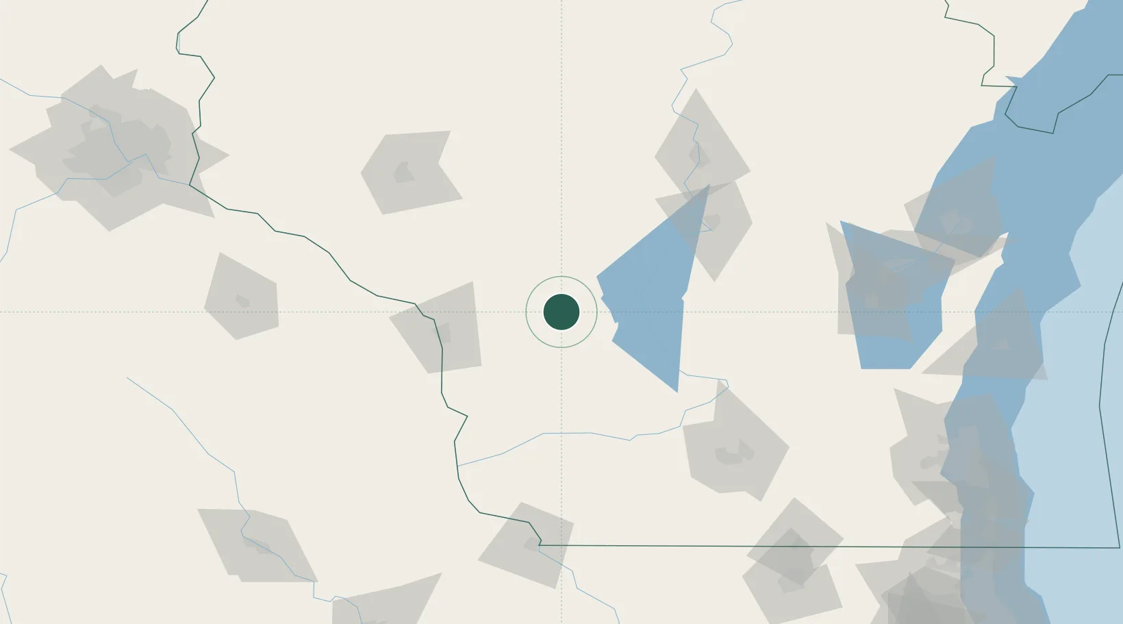
Populated place
Region
Wisconsin
Population
9,357
Time zone
America/Chicago
Elevation
296 m
Location
Nearby Logistics Neighbours
Cities
- 1Adrian9 km
- 2Mauston18 km
- 3New Lisbon30 km
- 4Elroy32 km
- 5Cashton33 km
Ports
- 1Kaukauna182 km
- 2Green Bay207 km
- 3Port Washington222 km
- 4Sheboygan226 km
- 5Manitowoc228 km
Airports
- 1Volk Field20 km
- 2La Crosse Regional Airport61 km
- 3Central Wisconsin Airport112 km
- 4Chippewa Valley Regional Airport127 km
- 5Wausau Downtown Airport127 km
Trade Zones
- 1FTZ No. 266 Dane County119 km
- 2FTZ No. 167 Brown County185 km
- 3FTZ No. 271 Jo-Daviess and Carroll Counties185 km
- 4FTZ No. 176 Rockford218 km
- 5FTZ No. 041 Milwaukee218 km
DatabookThe Record of Consolidated Knowledge
United States beyond logistics?