Transport Functions
Port
Road
Hub Profile
Place type
Populated place
Region
Illinois
Time zone
America/Chicago
Elevation
213 m
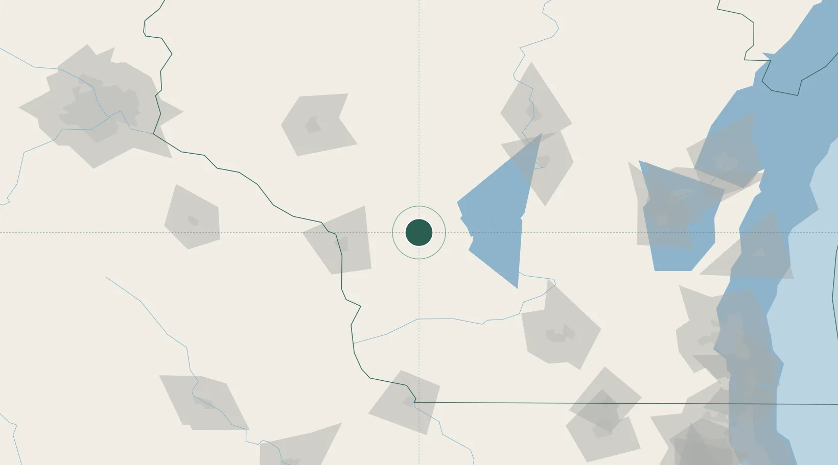
Location
Nearby Logistics Neighbours
Ports
- 1Kaukauna190 km
- 2Green Bay216 km
- 3Port Washington228 km
- 4Sheboygan234 km
- 5Manitowoc237 km
Airports
- 1Volk Field28 km
- 2La Crosse Regional Airport53 km
- 3Central Wisconsin Airport120 km
- 4Chippewa Valley Regional Airport125 km
- 5Dane County Regional Truax Field135 km
Trade Zones
- 1FTZ No. 266 Dane County120 km
- 2FTZ No. 271 Jo-Daviess and Carroll Counties182 km
- 3FTZ No. 167 Brown County194 km
- 4FTZ No. 176 Rockford218 km
- 5FTZ No. 041 Milwaukee223 km
DatabookThe Record of Consolidated Knowledge
United States beyond logistics?