UN/LOCODE hub · United States
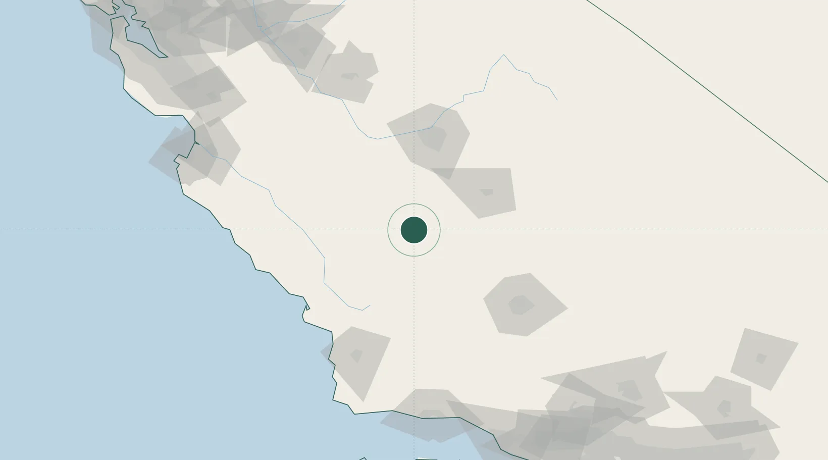
USKTL

Kettleman City

36.0000°, -119.9500°
1,439
Population
2
Transport functions

Transport Functions

Road
Multimodal
UN/LOCODE

Hub Profile

Place type
Populated place
GeoNames
Region
California
GeoNames
Population
1,439
GeoNames
Time zone
America/Los_Angeles
GeoNames
Elevation
77 m
GeoNames

Location

Location of USKTL
Natural Earth 10m (public domain) · California · USKTL · 36.00, -119.95GoogleOSMYandex

Nearby Logistics Neighbours

Cities
  1. 1Stratford24 km
  2. 2Huron26 km
  3. 3Hanford47 km
  4. 4Lost Hills49 km
  5. 5Laton54 km
Nearest neighbours — logibook spatial index (haversine) over the source coordinates
Ports
  1. 1Morro Bay108 km
  2. 2Pismo Beach115 km
  3. 3Port San Luis118 km
  4. 4Ellwood174 km
  5. 5Santa Barbara178 km
Nearest neighbours — logibook spatial index (haversine) over the source coordinates
Airports
  1. 1Lemoore Naval Air Station (Reeves Field) Airport37 km
  2. 2Visalia Municipal Airport61 km
  3. 3Paso Robles Municipal Airport71 km
  4. 4Fresno Yosemite International Airport89 km
  5. 5Meadows Field102 km
Nearest neighbours — logibook spatial index (haversine) over the source coordinates
Trade Zones
  1. 1FTZ No. 276 Kern County110 km
  2. 2FTZ No. 226 Merced, Madera and Fresno Counties153 km
  3. 3FTZ No. 205 Port Hueneme217 km
  4. 4FTZ No. 018 San Jose228 km
  5. 5FTZ No. 191 Palmdale230 km
Nearest neighbours — logibook spatial index (haversine) over the source coordinates
DatabookThe Record of Consolidated Knowledge
United States beyond logistics?
Browse databook

All Sources

LocationsUN/LOCODE
UN/LOCODE — free
LocationsGeoNames
CC BY 4.0
Portsthe NGA World Port Index
Public domain (US gov)
AirportsOurAirports
Public domain
Trade Zonesthe World Bank SEZ database
CC BY 4.0
Trade ZonesOpen Zone Map
CC BY
← United States locations