Transport Functions
Port
Road
Multimodal
Hub Profile
Place type
Populated place
Region
Montana
Population
147
Time zone
America/Denver
Elevation
777 m
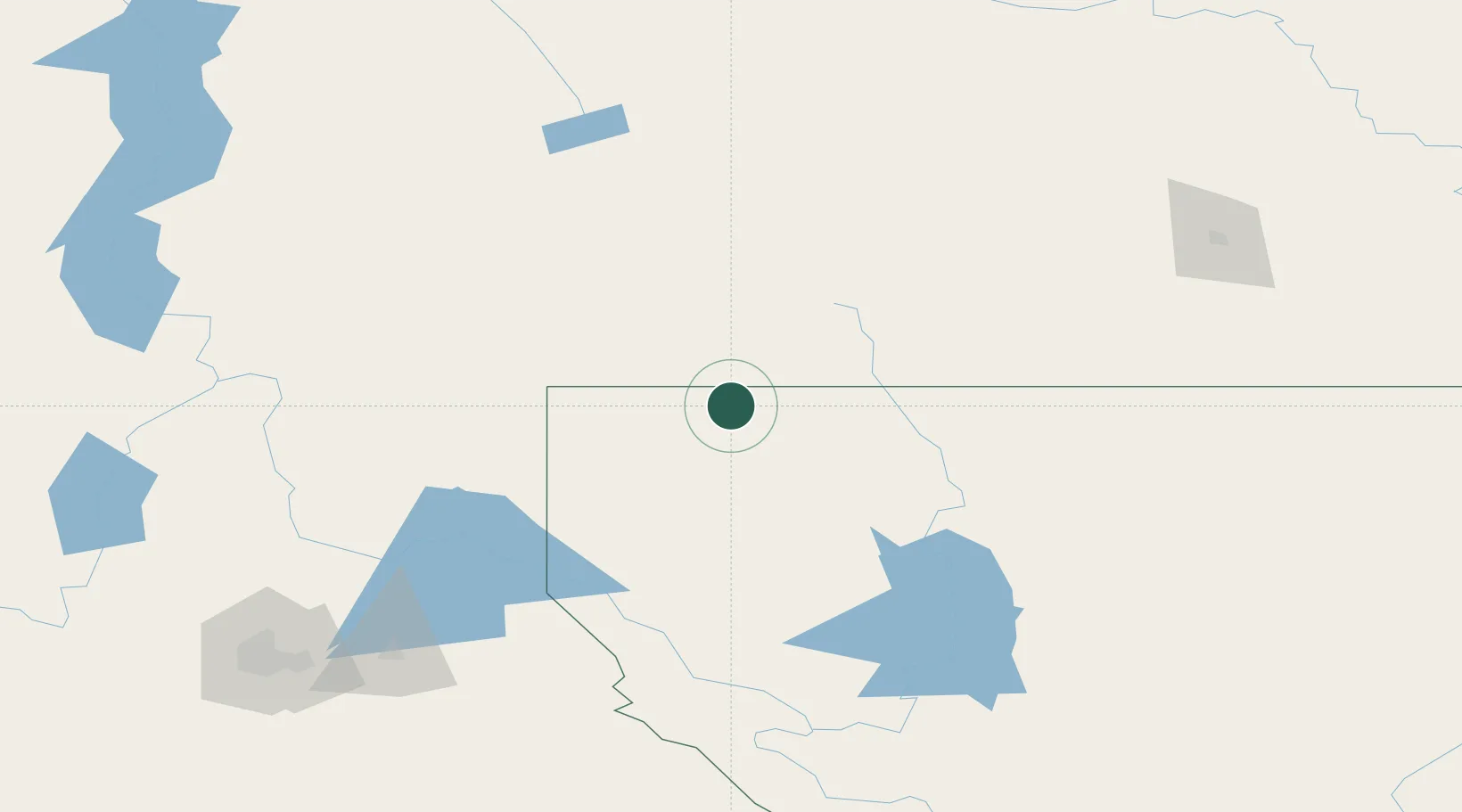
Location
Nearby Logistics Neighbours
Cities
- 1Roosville14 km
- 2Roosville14 km
- 3Bull River66 km
- 4Fernie69 km
- 5Troy73 km
Ports
- 1Mission City518 km
- 2Everett529 km
- 3Mukilteo537 km
- 4Bellingham537 km
- 5Anacortes548 km
Airports
Trade Zones
- 1FTZ No. 242 Boundary County122 km
- 2FTZ No. 187 Toole County213 km
- 3FTZ No. 224 Spokane219 km
- 4Calgary Region Inland Port252 km
- 5FTZ No. 088 Great Falls317 km
DatabookThe Record of Consolidated Knowledge
United States beyond logistics?