UN/LOCODE hub · United States
USZJC

Bon Secour

30.3000°, -87.7167°
1
Transport functions

Transport Functions

Multimodal
UN/LOCODE

Hub Profile

Place type
Populated place
GeoNames
Region
Alabama
GeoNames
Time zone
America/Chicago
GeoNames
Elevation
3 m
GeoNames

Location

Location of USZJC
Natural Earth 10m (public domain) · Alabama · USZJC · 30.30, -87.72GoogleOSMYandex

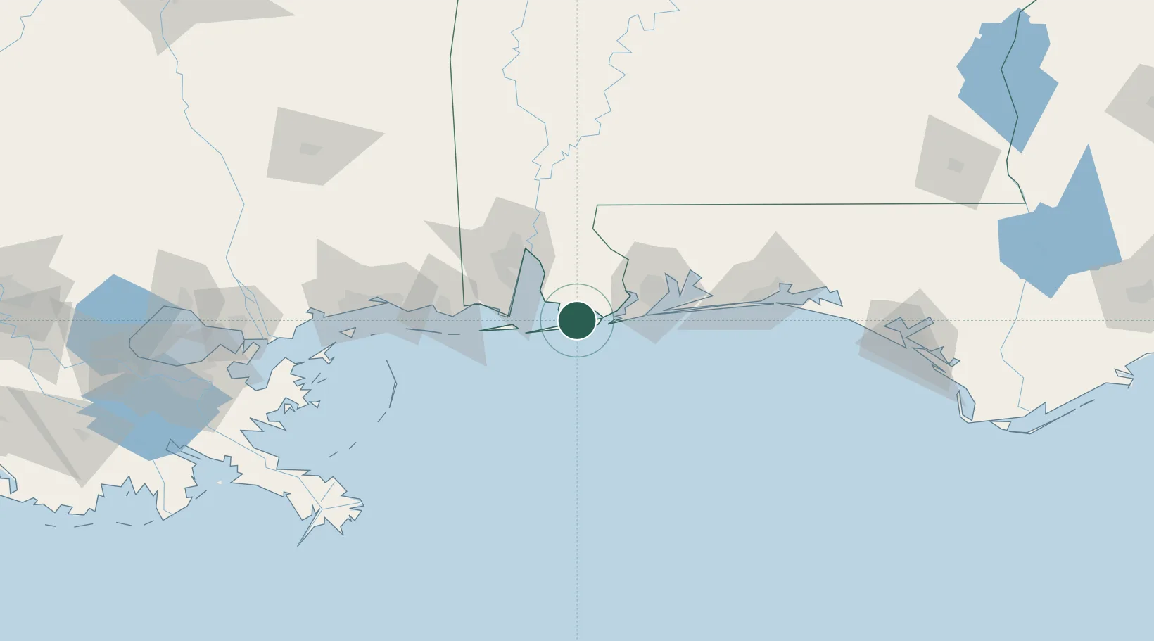
Nearby Logistics Neighbours

Cities
  1. 1Orange Beach15 km
  2. 2Robertsdale28 km
  3. 3Alabama Pt.37 km
  4. 4Daphne38 km
  5. 5Pinto Island50 km
Nearest neighbours — logibook spatial index (haversine) over the source coordinates
Ports
  1. 1Pensacola49 km
  2. 2Mobile57 km
  3. 3Pascagoula82 km
  4. 4Biloxi112 km
  5. 5Gulfport131 km
Nearest neighbours — logibook spatial index (haversine) over the source coordinates
Airports
  1. 1Naval Air Station Pensacola Forrest Sherman Field39 km
  2. 2Mobile Downtown Airport50 km
  3. 3Pensacola International Airport54 km
  4. 4Mobile Regional Airport67 km
  5. 5Whiting Field Naval Air Station South Airport80 km
Nearest neighbours — logibook spatial index (haversine) over the source coordinates
Trade Zones
  1. 1FTZ No. 249 Pensacola46 km
  2. 2FTZ No. 082 Mobile56 km
  3. 3FTZ No. 092 Harrison County121 km
  4. 4FTZ No. 065 Panama City190 km
  5. 5FTZ No. 002 New Orleans229 km
Nearest neighbours — logibook spatial index (haversine) over the source coordinates
DatabookThe Record of Consolidated Knowledge
United States beyond logistics?
Browse databook

All Sources

LocationsUN/LOCODE
UN/LOCODE — free
Portsthe NGA World Port Index
Public domain (US gov)
AirportsOurAirports
Public domain
Trade Zonesthe World Bank SEZ database
CC BY 4.0
Trade ZonesOpen Zone Map
CC BY
← United States locations