UN/LOCODE hub · United States
USOBS
Robertsdale
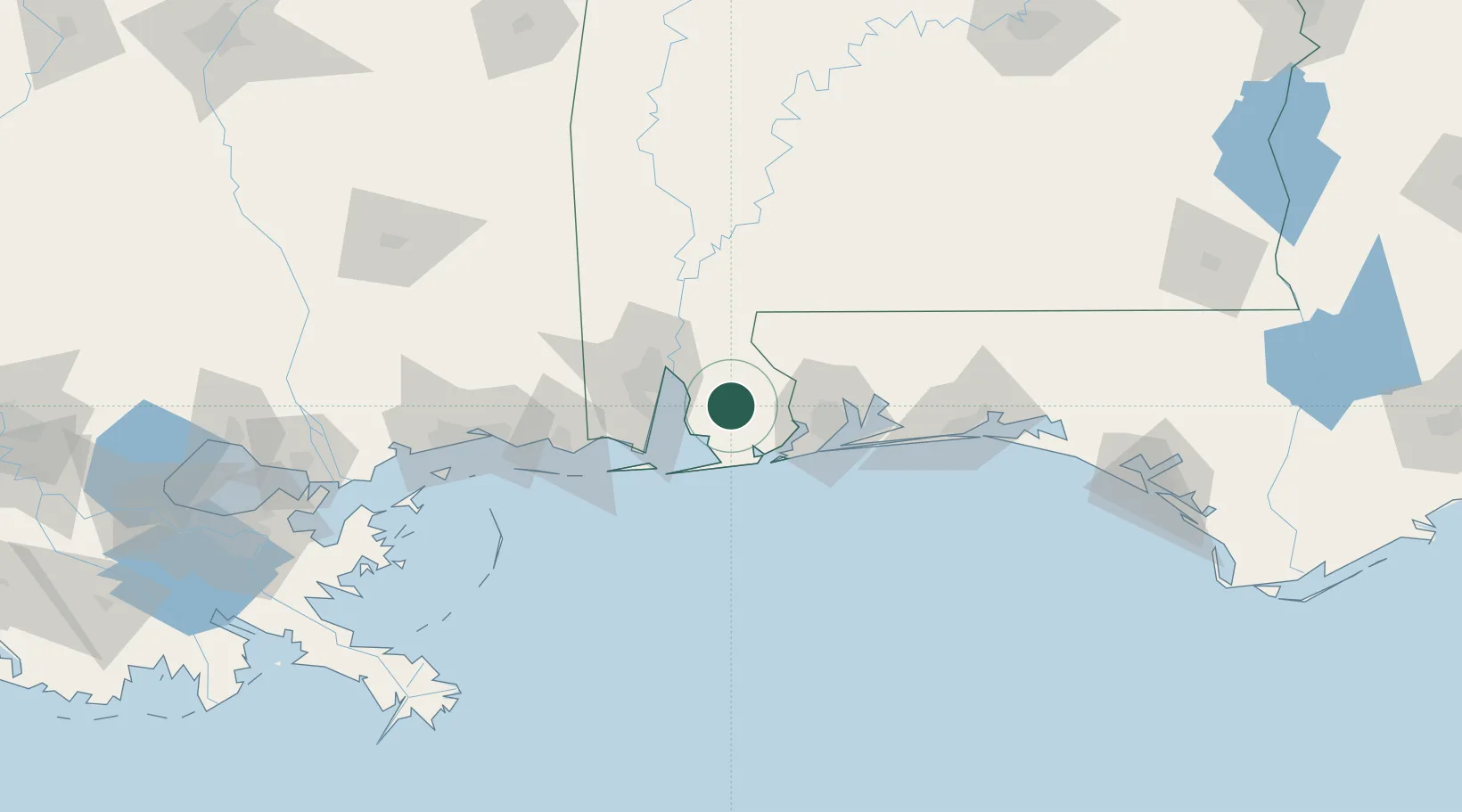
30.5500°, -87.7167°
5,894
Population
2
Transport functions
Transport Functions
Rail
Road
Hub Profile
Place type
Populated place
Region
Alabama
Population
5,894
Time zone
America/Chicago
Elevation
45 m
Location
Nearby Logistics Neighbours
Cities
- 1Daphne18 km
- 2Bon Secour28 km
- 3Pinto Island32 km
- 4Orange Beach33 km
- 5Chickasaw41 km
Ports
- 1Mobile41 km
- 2Pensacola51 km
- 3Pascagoula85 km
- 4Biloxi113 km
- 5Gulfport133 km
Airports
Trade Zones
- 1FTZ No. 082 Mobile39 km
- 2FTZ No. 249 Pensacola45 km
- 3FTZ No. 092 Harrison County121 km
- 4FTZ No. 065 Panama City193 km
- 5FTZ No. 233 Dothan231 km
DatabookThe Record of Consolidated Knowledge
United States beyond logistics?