UN/LOCODE hub · United States
USIPS
Minneapolis
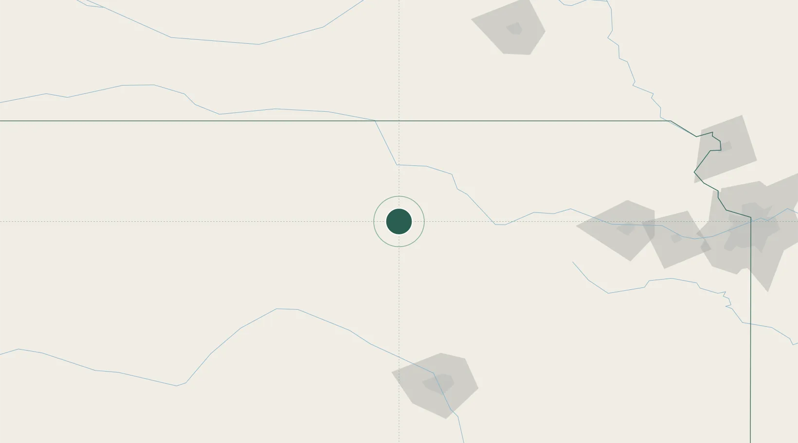
39.1167°, -97.7000°
2,002
Population
2
Transport functions
Transport Functions
Road
Multimodal
Hub Profile
Place type
Provincial seat
Region
Kansas
Population
2,002
Time zone
America/Chicago
Elevation
390 m
Location
Nearby Logistics Neighbours
Ports
- 1Port Of Memphis805 km
- 2Superior963 km
- 3Duluth965 km
- 4Kaukauna970 km
- 5Ashland1000 km
Airports
- 1Salina Municipal Airport36 km
- 2Marshall Army Air Field81 km
- 3Manhattan Regional Airport89 km
- 4Russell Municipal Airport100 km
- 5Hutchinson Municipal Airport118 km
Trade Zones
- 1FTZ No. 161 Sedgwick County158 km
- 2FTZ No. 133 Quad-Cities, Iowa Illinois165 km
- 3FTZ No. 059 Lincoln201 km
- 4FTZ No. 015 Kansas City244 km
- 5FTZ No. 017 Kansas City245 km
DatabookThe Record of Consolidated Knowledge
United States beyond logistics?