UN/LOCODE hub · United States
USHF3
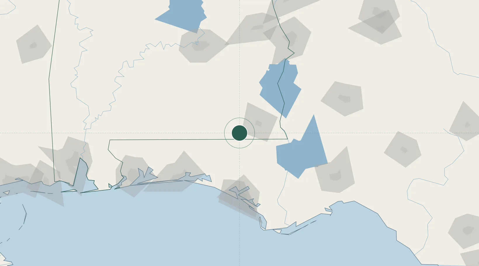
Hartford
31.1000°, -85.7000°
2,647
Population
1
Transport functions
Transport Functions
Multimodal
Hub Profile
Place type
Populated place
Region
Alabama
Population
2,647
Time zone
America/Chicago
Elevation
83 m
Location
Nearby Logistics Neighbours
Cities
- 1Daleville22 km
- 2Fort Rucker26 km
- 3Campbellton33 km
- 4Bonifay35 km
- 5New Brockton38 km
Ports
- 1Panama City108 km
- 2Port St Joe147 km
- 3Pensacola165 km
- 4Apalachicola169 km
- 5Carrabelle171 km
Airports
Trade Zones
- 1FTZ No. 233 Dothan30 km
- 2FTZ No. 065 Panama City100 km
- 3FTZ No. 222 Montgomery153 km
- 4FTZ No. 249 Pensacola167 km
- 5FTZ No. 082 Mobile233 km
DatabookThe Record of Consolidated Knowledge
United States beyond logistics?