UN/LOCODE hub · United States
USNHH
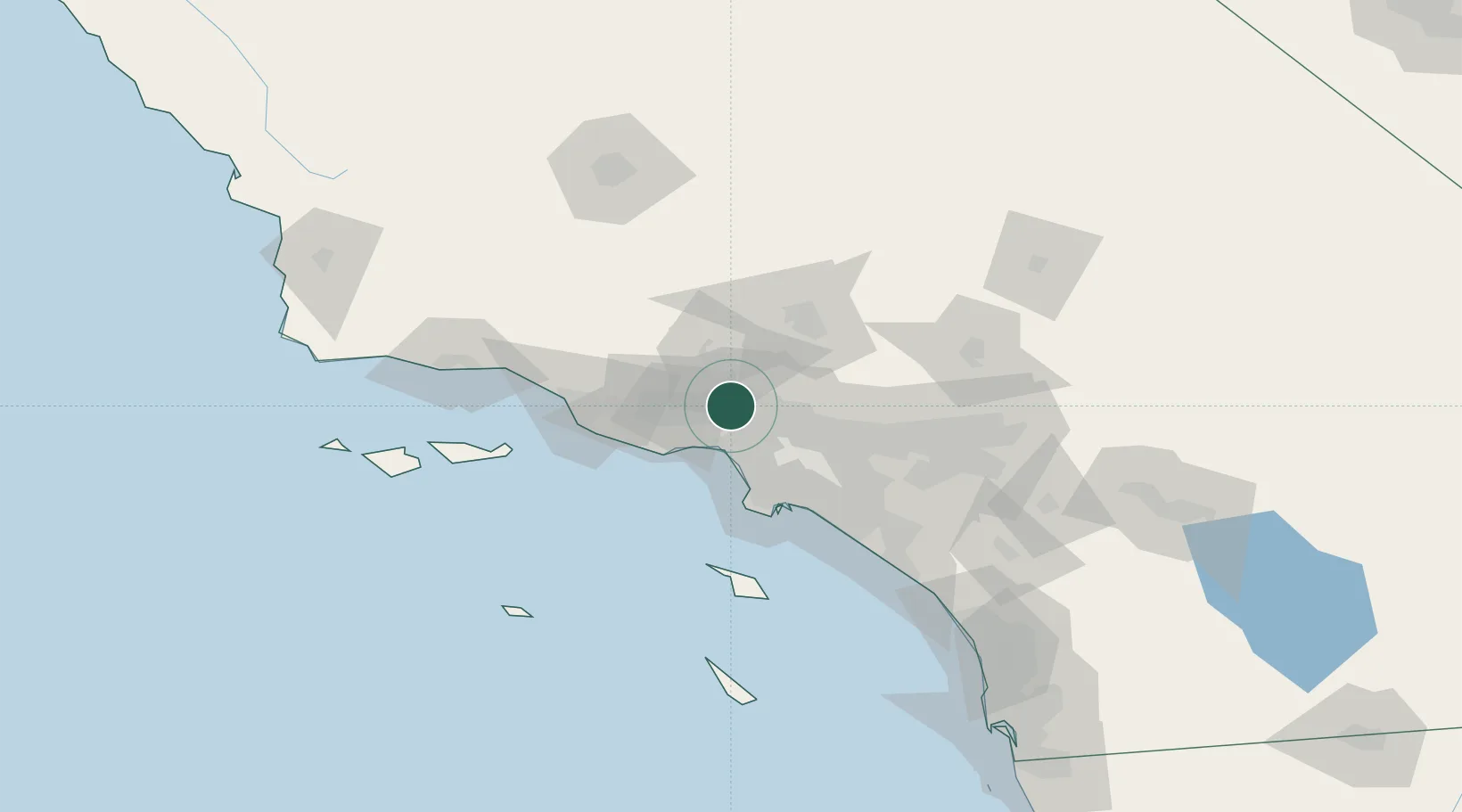
North Hills
34.2333°, -118.4833°
56,946
Population
2
Transport functions
Transport Functions
Rail
Road
Hub Profile
Place type
Urban district
Region
California
Population
56,946
Time zone
America/Los_Angeles
Elevation
257 m
Location
Nearby Logistics Neighbours
Ports
- 1El Segundo36 km
- 2Los Angeles58 km
- 3Long Beach59 km
- 4Port Hueneme67 km
- 5Ventura74 km
Airports
Trade Zones
- 1FTZ No. 191 Palmdale51 km
- 2FTZ No. 050 Long Beach57 km
- 3FTZ No. 202 Los Angeles58 km
- 4FTZ No. 205 Port Hueneme67 km
- 5FTZ No. 243 Victorville109 km
DatabookThe Record of Consolidated Knowledge
United States beyond logistics?