Transport Functions
Rail
Road
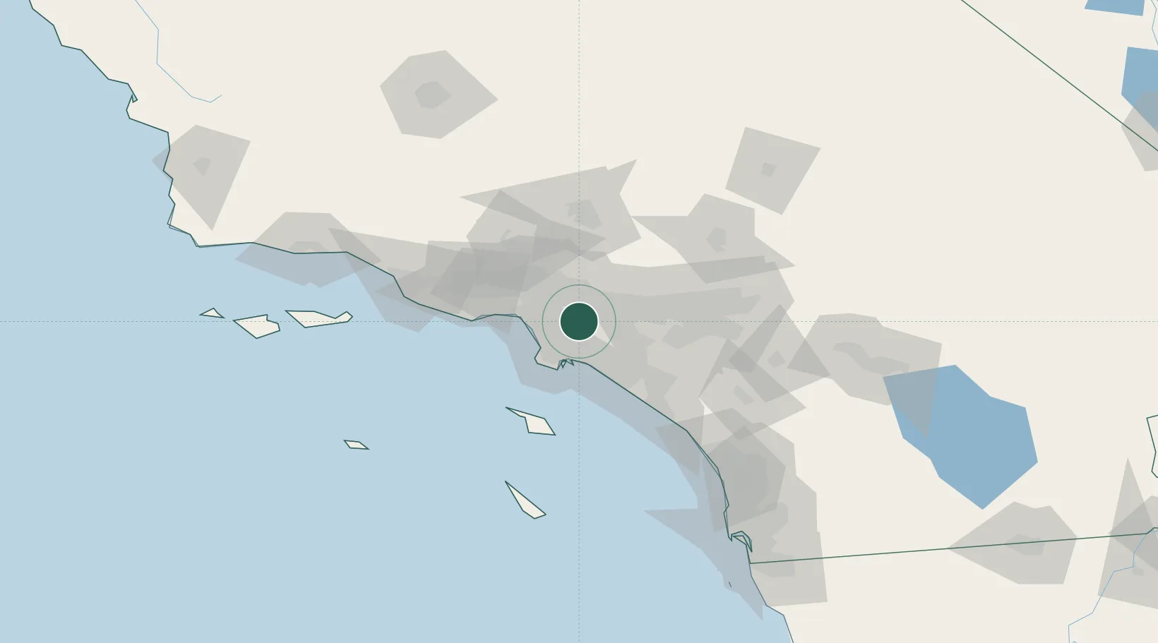
Hub Profile
Region
CA
Logistics facilities
1
Location
Nearby Logistics Neighbours
Cities
- 1South Gate6 km
- 2Los Angeles15 km
- 3North Long Beach16 km
- 4Long Beach21 km
- 5San Pedro22 km
Ports
- 1Long Beach26 km
- 2El Segundo27 km
- 3Los Angeles29 km
- 4Newport Beach49 km
- 5Avalon73 km
Airports
Trade Zones
- 1FTZ No. 050 Long Beach21 km
- 2FTZ No. 202 Los Angeles31 km
- 3FTZ No. 191 Palmdale65 km
- 4FTZ No. 244 Riverside County81 km
- 5FTZ No. 205 Port Hueneme97 km
DatabookThe Record of Consolidated Knowledge
United States beyond logistics?