Transport Functions
Port
Multimodal
Hub Profile
Region
M
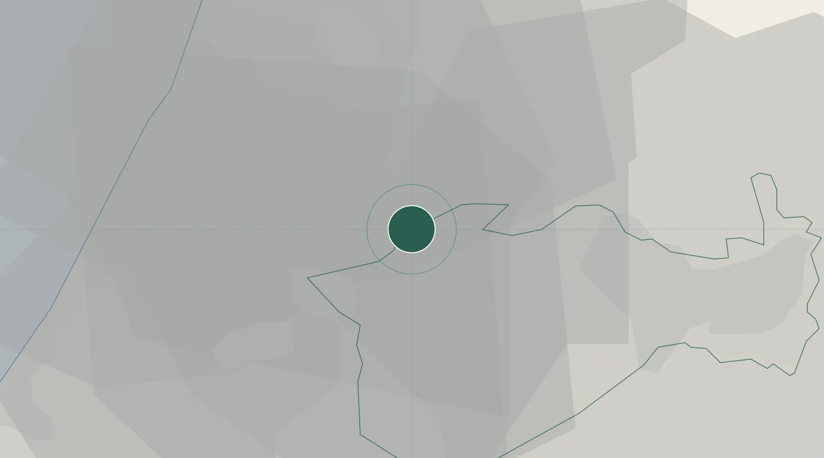
Location
Nearby Logistics Neighbours
Cities
- 1Ayalon Valley9 km
- 2Post Offoce Modi'In11 km
- 3Lod Overseas13 km
- 4Post Office Lod13 km
- 5Swissport Cargo ICD/Lod13 km
Airports
- 1Tel Nof Air Base9 km
- 2Ben Gurion International Airport20 km
- 3Nevatim Air Base70 km
- 4Bar Yehuda Airfield72 km
- 5Ramat David Air Base96 km
Trade Zones
DatabookThe Record of Consolidated Knowledge
Israel beyond logistics?