Transport Functions
Port
Road
Hub Profile
Place type
Populated place
Region
Flevoland
Population
19,022
Time zone
Europe/Amsterdam
Elevation
-1 m
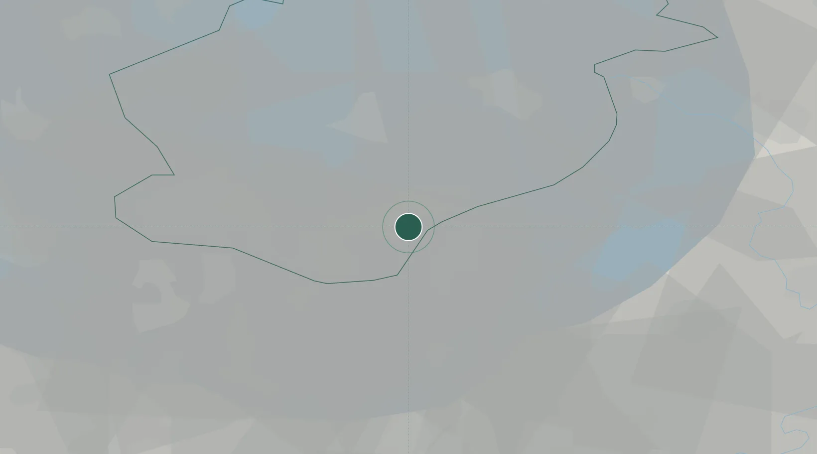
Location
Nearby Logistics Neighbours
Cities
- 1Harderwijk6 km
- 2Ophemert8 km
- 3Biddinghuizen15 km
- 4Formerum17 km
- 5Bunschoten-Spakenburg18 km
Ports
- 1Amsterdam44 km
- 2Zaandam50 km
- 3Ijmuiden67 km
- 4Dordrecht85 km
- 5Den Helder86 km
Airports
- 1Lelystad Airport12 km
- 2Deelen Air Base39 km
- 3Amsterdam Airport Schiphol54 km
- 4Volkel Air Base78 km
- 5De Kooy Airfield / Den Helder Naval Air Station82 km
Trade Zones
- 1Freeport of Duisburg123 km
- 2Freeport of Emden155 km
- 3Rheinische Revier SWZ170 km
- 4Freeport of Bremerhaven (Freihafen Bremerhaven)232 km
- 5ZFU Tourcoing245 km
DatabookThe Record of Consolidated Knowledge
Netherlands beyond logistics?