Free Trade Zone · Germany

Freeport of Emden Inactive
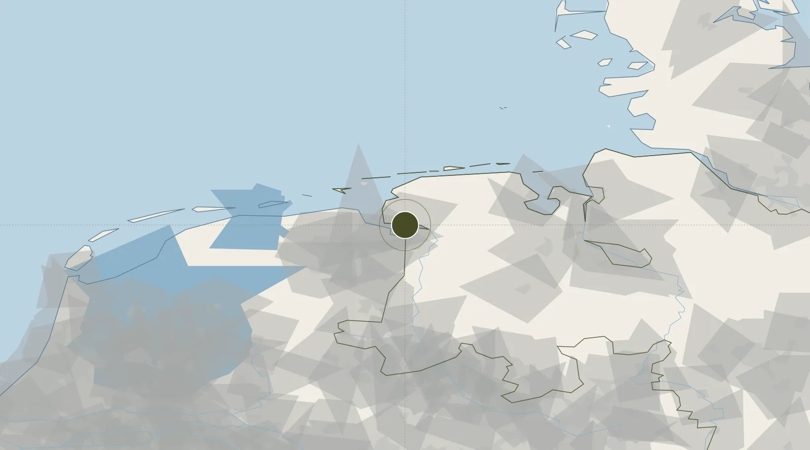
53.3354°, 7.1903°
225 ha
Zone area
0.5 km
Nearest port
6.7 km
Nearest airport

Gateway access

Nearest neighbours — logibook spatial index (haversine) over the source coordinates

Zone profile

Zone type
Free Trade Zone
Open Zone Map
Region
Niedersachsen
Open Zone Map
Status
Inactive
Open Zone Map
Management
Public-Private Partnership
Open Zone Map
Operator
HZA Oldenburg Zollamt Emden
Open Zone Map
Legal framework
Art. 1 Sec. 1 Sentence 1 Zollverwaltungsgesetz, Regulation (EU) No 952/2013 of the European Parliament and of the Council of 9 October 2013 laying down the Union Customs Code (recast)
Open Zone Map

Location

Location of ozm-2044
Natural Earth 10m (public domain) · Niedersachsen · ozm-2044 · 53.34, 7.19GoogleOSMYandex

Nearby Logistics Neighbours

Ports
  1. 1Emden1 km
  2. 2Delfzijl17 km
  3. 3Leer21 km
  4. 4Eemshaven27 km
  5. 5Papenburg29 km
Nearest neighbours — logibook spatial index (haversine) over the source coordinates
Airports
  1. 1Emden Airport7 km
  2. 2Norden-Norddeich Airport33 km
  3. 3Wittmundhafen Air Base39 km
  4. 4Juist Airport40 km
  5. 5Norderney Airport41 km
Nearest neighbours — logibook spatial index (haversine) over the source coordinates
Cities
  1. 1Emden4 km
  2. 2Ditzum7 km
  3. 3Oldersum10 km
  4. 4Termunterzijl11 km
  5. 5Nieuwe Statenzijl11 km
Nearest neighbours — logibook spatial index (haversine) over the source coordinates
Trade Zones
  1. 1Freeport of Cuxhaven (Freihafen Cuxhaven)106 km
  2. 2Freeport of Bremerhaven (Freihafen Bremerhaven)109 km
  3. 3Freeport of Duisburg214 km
  4. 4Freeport of Kiel225 km
  5. 5Rheinische Revier SWZ275 km
Nearest neighbours — logibook spatial index (haversine) over the source coordinates
DatabookThe Record of Consolidated Knowledge
Germany beyond logistics?
Browse databook

All Sources

Trade ZonesOpen Zone Map
CC BY
Portsthe NGA World Port Index
Public domain (US gov)
AirportsOurAirports
Public domain
LocationsUN/LOCODE
UN/LOCODE — free
← Germany trade zones