Channel & Berth Profile
Pilotage, Tugs & Services
Pilotage compulsoryYES
Pilotage availableYES
Pilotage advisableYES
Tug assistanceYES
Potable waterYES
Diesel bunkersYES
MedicalYES
Garbage disposalYES
Facilities & Capabilities
Container—
Ro-Ro—
Liquid bulk—
Dry bulk—
Oil terminal—
Break bulk—
Dry dock—
RepairsNO
BunkeringYES
Rail linkYES
Dangerous cargo—
ISPS security—
Harbour Specifications
Harbour size
Medium
Harbour type
River (Natural)
Shelter
Good
Water body
North Sea; North Atlantic Ocean
Tidal range
1 m
Overhead limit
Yes
Pilotage
Yes
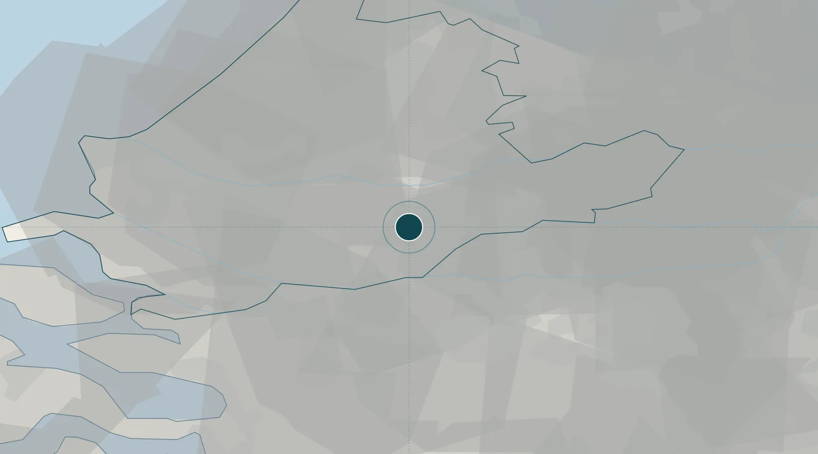
Location
Nearby Logistics Neighbours
Ports
- 1Rotterdam15 km
- 2Schiedam20 km
- 3Vlaardingen23 km
- 4Maassluis30 km
- 5Hoek Van Holland38 km
Cities
- 1's-Gravendeel4 km
- 2Papendrecht4 km
- 3Hendrik-Ido-Ambacht4 km
- 4Oud-Alblas5 km
- 5Puttershoek6 km
Airports
- 1Rotterdam The Hague Airport21 km
- 2Gilze Rijen Air Base34 km
- 3Woensdrecht Air Base46 km
- 4Amsterdam Airport Schiphol55 km
- 5Eindhoven Airport65 km
Trade Zones
- 1Freeport of Duisburg140 km
- 2Rheinische Revier SWZ157 km
- 3ZFU Tourcoing160 km
- 4ZFU Hem et Roubaix162 km
- 5ZFU Condé sur lEscaut168 km
DatabookThe Record of Consolidated Knowledge
Netherlands beyond logistics?