Transport Functions
Port
Road
Hub Profile
Place type
Populated place
Region
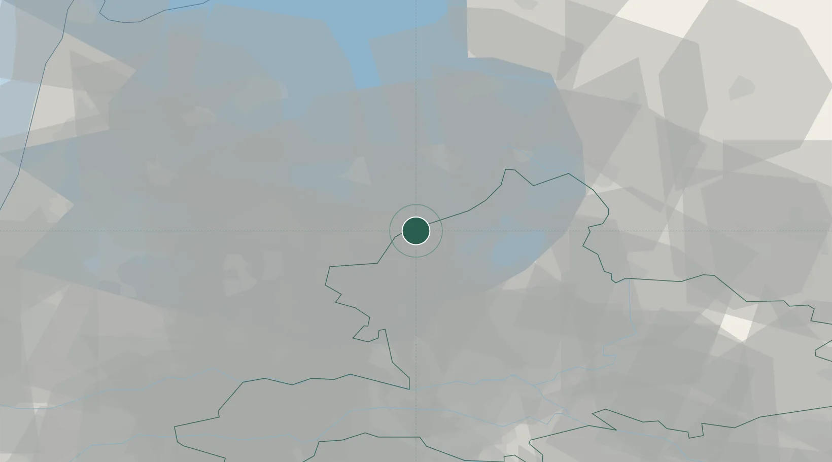
Gelderland
Population
40,516
Time zone
Europe/Amsterdam
Elevation
4 m
Logistics facilities
1
Location
Nearby Logistics Neighbours
Cities
- 1Ophemert4 km
- 2Zeewolde6 km
- 3Biddinghuizen11 km
- 4Formerum23 km
- 5Bunschoten-Spakenburg23 km
Ports
- 1Amsterdam50 km
- 2Zaandam55 km
- 3Ijmuiden72 km
- 4Den Helder88 km
- 5Dordrecht91 km
Airports
- 1Lelystad Airport13 km
- 2Deelen Air Base37 km
- 3Amsterdam Airport Schiphol59 km
- 4Volkel Air Base79 km
- 5De Kooy Airfield / Den Helder Naval Air Station85 km
Trade Zones
- 1Freeport of Duisburg121 km
- 2Freeport of Emden151 km
- 3Rheinische Revier SWZ170 km
- 4Freeport of Bremerhaven (Freihafen Bremerhaven)227 km
- 5ZFU Tourcoing250 km
DatabookThe Record of Consolidated Knowledge
Netherlands beyond logistics?