Seaport · Netherlands
AmsterdamNLAMS
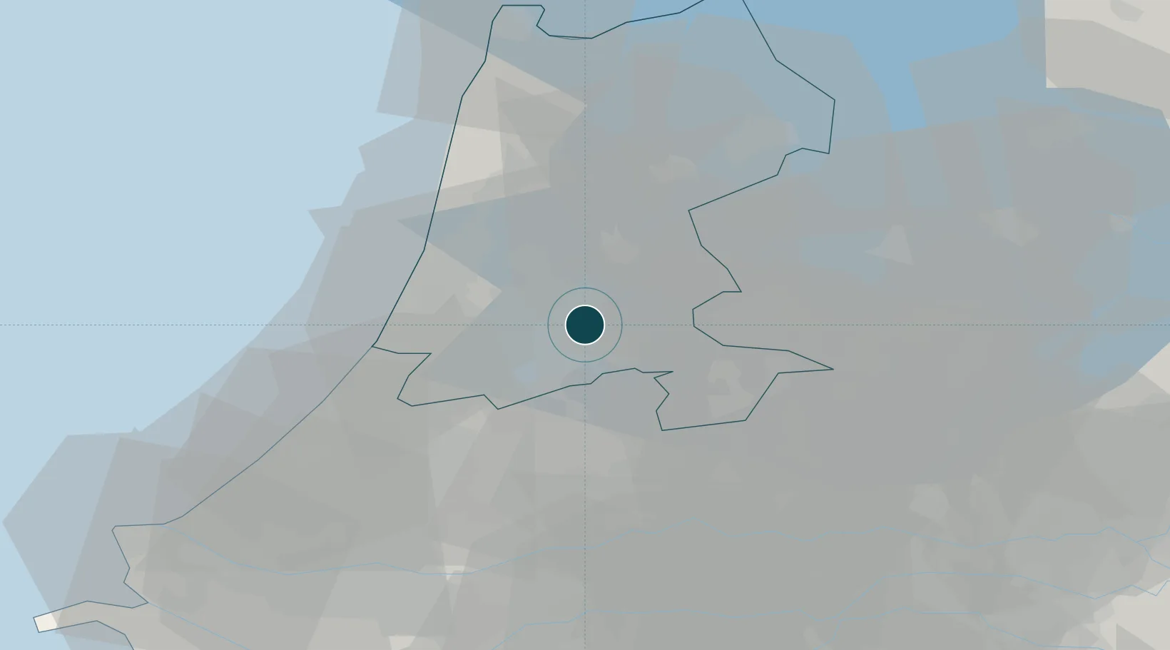
52.3667°, 4.9000°
12.5 m
Channel depth
2
Container terminals
35.0
Port liner connectivity
Channel & Berth Profile
Pilotage, Tugs & Services
Pilotage compulsoryYES
Pilotage advisableYES
Tug assistanceYES
Shore powerYES
Potable waterYES
Diesel bunkersYES
MedicalYES
Garbage disposalYES
Facilities & Capabilities
Container—
Ro-Ro—
Liquid bulk—
Dry bulk—
Oil terminal—
Break bulk—
Dry dockNO
RepairsNO
BunkeringYES
Rail linkYES
Dangerous cargo—
ISPS security—
Harbour Specifications
Harbour size
Large
Harbour type
Canal or Lake
Shelter
Excellent
Water body
North Sea; North Atlantic Ocean
Tidal range
2 m
Overhead limit
Yes
Pilotage
Yes
Liner Connectivity
35
PLSCI
Port Liner Shipping Connectivity Index for Amsterdam, as published by UNCTAD for the latest available quarter. Higher values indicate stronger scheduled liner-shipping integration.
Shown relative to the highest per-port PLSCI in the dataset (1,657.9).
Location
Container Terminals · 2
TMA TERMINAL AMSTERDAM
ACT TMA LOGISTICS
CTVREDE AMSTERDAM
CTVA CTVREDE B.V.
Nearby Logistics Neighbours
Ports
- 1Zaandam9 km
- 2Ijmuiden24 km
- 3Scheveningen52 km
- 4Rotterdam59 km
- 5Schiedam62 km
Cities
- 1Duivendrecht4 km
- 2Westzaan7 km
- 3Ouderkerk aan de Amstel7 km
- 4Lijnden9 km
- 5Den Lip9 km
Airports
Trade Zones
- 1Freeport of Duisburg155 km
- 2Freeport of Emden188 km
- 3Rheinische Revier SWZ192 km
- 4ZFU Tourcoing219 km
- 5ZFU Hem et Roubaix222 km
DatabookThe Record of Consolidated Knowledge
Netherlands beyond logistics?