Medium airport · Netherlands
Deelen Air BaseEHDL
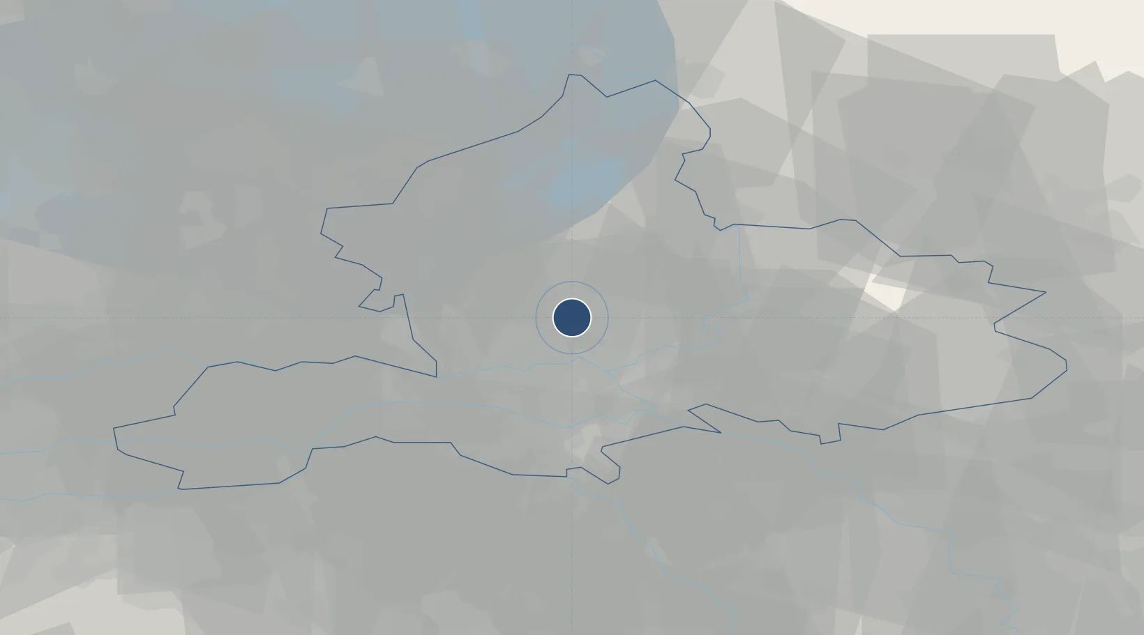
52.0606°, 5.8731°
9,678 ft
Longest runway
1
Runways
158 ft
Elevation
Runway & Layout

Radio Frequencies
ATIS
133.555 MHz
Atis
TWR
118.705 MHz
DEL
121.705 MHz
Delivery
APP
120.305 MHz
Approach
Navaids
DLN TACAN Deelen 112.20 MHz
Runways · 1
| Runway | Dimensions | Surface | True heading | Lit |
|---|---|---|---|---|
| 02/20 | 9,678 × 164ft | Asphalt / concrete | 018° | ✓ |
Airport Specifications
ICAO code
EHDL
Airport class
Medium airport
Scheduled service
No
Runway surface
Asphalt / concrete
Served city
Arnhem
Location
Nearby Logistics Neighbours
Airports
- 1Volkel Air Base46 km
- 2Lelystad Airport50 km
- 3Weeze (Niederrhein) Airport54 km
- 4Twente Airport73 km
- 5Eindhoven Airport76 km
Trade Zones
- 1Freeport of Duisburg84 km
- 2Rheinische Revier SWZ133 km
- 3Freeport of Emden167 km
- 4Freeport of Bremerhaven (Freihafen Bremerhaven)227 km
- 5ZFU Condé sur lEscaut239 km
DatabookThe Record of Consolidated Knowledge
Netherlands beyond logistics?