Channel & Berth Profile
Pilotage, Tugs & Services
Pilotage compulsoryYES
Pilotage availableYES
Pilotage advisableYES
Tug assistanceYES
Salvage tugsNO
Potable waterYES
Diesel bunkersYES
MedicalYES
Garbage disposalYES
Facilities & Capabilities
Container—
Ro-Ro—
Liquid bulk—
Dry bulk—
Oil terminal—
Break bulk—
Dry dockNO
RepairsNO
BunkeringYES
Rail linkYES
Dangerous cargo—
ISPS security—
Harbour Specifications
Harbour size
Small
Harbour type
River (Basins)
Shelter
Good
Water body
North Sea; North Atlantic Ocean
Tidal range
2 m
Overhead limit
Yes
Pilotage
Yes
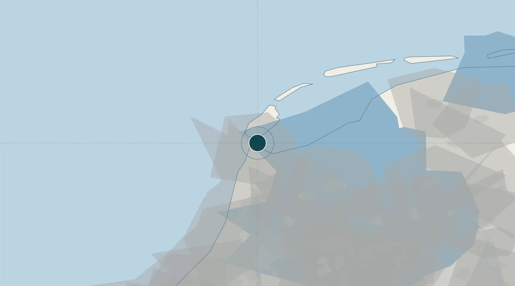
Location
Nearby Logistics Neighbours
Ports
- 1Harlingen49 km
- 2Ijmuiden57 km
- 3Zaandam59 km
- 4Amsterdam67 km
- 5Scheveningen103 km
Cities
- 1't Horntje4 km
- 2De Kooy6 km
- 3Oudeschild9 km
- 4Anna Paulowna12 km
- 5Molengat13 km
Airports
Trade Zones
DatabookThe Record of Consolidated Knowledge
Netherlands beyond logistics?