Medium airport · Netherlands
Volkel Air BaseEHVK
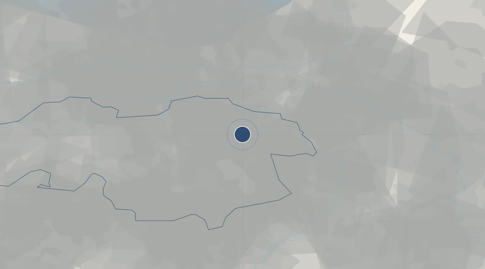
51.6572°, 5.7078°
9,931 ft
Longest runway
2
Runways
72 ft
Elevation
Runway & Layout

Radio Frequencies
TWR
122.1 MHz
Volkel Tower
GND
38.677 MHz
APP
122.1 MHz
RAPCON South
APP
123.18 MHz
RAPCON South
ARR
122.1 MHz
Volkel Arrival
CENTER
125.93 MHz
Dutch Military Center
FIS
132.35 MHz
Dutch MIL Info
Navaids
VKL TACAN Volkel 108.30 MHz
Runways · 2
| Runway | Dimensions | Surface | True heading | Lit |
|---|---|---|---|---|
| 06R/24L | 9,931 × 74ft | Asphalt | 055° | ✓ |
| 06L/24R | 9,922 × 150ft | Asphalt | 056° | ✓ |
Airport Specifications
IATA code
UDE
ICAO code
EHVK
Airport class
Medium airport
Scheduled service
No
Runway surface
Asphalt
Served city
Uden
Location
Nearby Logistics Neighbours
Airports
- 1Weeze (Niederrhein) Airport31 km
- 2Eindhoven Airport33 km
- 3Kempen Airport Budel45 km
- 4Deelen Air Base46 km
- 5Gilze Rijen Air Base55 km
Cities
- 1Odiliapeel1 km
- 2Keent5 km
- 3Schaijk12 km
- 4Nederasselt13 km
- 5Zevenbergen13 km
Ports
- 1Dordrecht75 km
- 2Rotterdam89 km
- 3Schiedam94 km
- 4Amsterdam96 km
- 5Vlaardingen97 km
Trade Zones
- 1Freeport of Duisburg65 km
- 2Rheinische Revier SWZ95 km
- 3ZFU Maubeuge, Louvroil199 km
- 4ZFU Condé sur lEscaut199 km
- 5ZFU Tourcoing206 km
DatabookThe Record of Consolidated Knowledge
Netherlands beyond logistics?