Transport Functions
Multimodal
Hub Profile
Region
UT
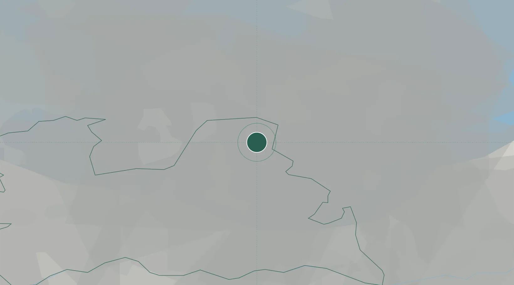
Location
Nearby Logistics Neighbours
Cities
- 1Baarn7 km
- 2Amersfoort9 km
- 3De Glind17 km
- 4Formerum17 km
- 5Zeewolde18 km
Airports
- 1Lelystad Airport26 km
- 2Deelen Air Base40 km
- 3Amsterdam Airport Schiphol42 km
- 4Volkel Air Base68 km
- 5Rotterdam The Hague Airport71 km
Trade Zones
- 1Freeport of Duisburg121 km
- 2Rheinische Revier SWZ163 km
- 3Freeport of Emden173 km
- 4ZFU Tourcoing227 km
- 5ZFU Hem et Roubaix230 km
DatabookThe Record of Consolidated Knowledge
Netherlands beyond logistics?