Free Trade Zone · Germany
Freeport of Duisburg Inactive
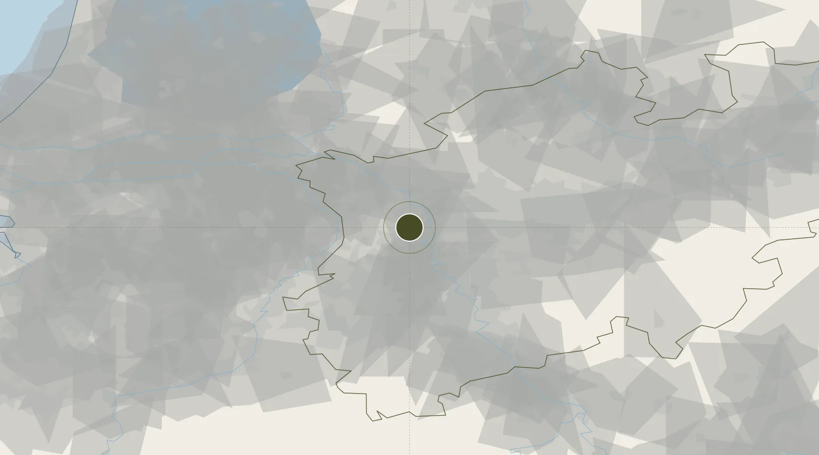
51.4466°, 6.5878°
89 ha
Zone area
139.9 km
Nearest port
21.4 km
Nearest airport
Gateway access
Zone profile
Zone type
Free Trade Zone
Region
Nordrhein-Westfalen
Status
Inactive
Management
Public-Private Partnership
Operator
Hauptzollamt Duisburg
Legal framework
Art. 1 Sec. 1 Sentence 1 Zollverwaltungsgesetz, Regulation (EU) No 952/2013 of the European Parliament and of the Council of 9 October 2013 laying down the Union Customs Code (recast)
Location
Nearby Logistics Neighbours
Airports
- 1Düsseldorf Airport21 km
- 2Mönchengladbach Airport25 km
- 3Weeze (Niederrhein) Airport35 km
- 4Volkel Air Base65 km
- 5Geilenkirchen Air Base66 km
Cities
- 1Neukirchen-Vluyn2 km
- 2Vinn4 km
- 3Moers4 km
- 4Homberg7 km
- 5Orsoy10 km
Trade Zones
- 1Rheinische Revier SWZ62 km
- 2Luxembourg Free Port203 km
- 3Freeport of Emden214 km
- 4ZFU Maubeuge, Louvroil228 km
- 5ZFU Ronde Couture231 km
DatabookThe Record of Consolidated Knowledge
Germany beyond logistics?