Economic Revitalization Project · Germany

Rheinische Revier SWZ Under Development
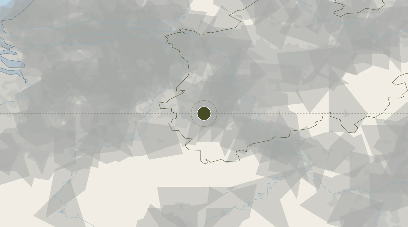
50.9093°, 6.3805°
450 ha
Zone area
142.5 km
Nearest port
21.3 km
Nearest airport

Gateway access

Nearest neighbours — logibook spatial index (haversine) over the source coordinates

Zone profile

Zone type
Economic Revitalization Project
Open Zone Map
Region
Nordrhein-Westfalen
Open Zone Map
Status
Under Development
Open Zone Map
Management
Public-Private Partnership
Open Zone Map
Operator
Zukunftsagentur Rheinisches Revier GmbH
Open Zone Map
Legal framework
Invetitionsgesetz Kohlregionen - InvKG
Open Zone Map

Location

Location of ozm-2038
Natural Earth 10m (public domain) · Nordrhein-Westfalen · ozm-2038 · 50.91, 6.38GoogleOSMYandex

Nearby Logistics Neighbours

Ports
  1. 1Bruxelles143 km
  2. 2Antwerpen143 km
  3. 3Dordrecht157 km
  4. 4Rotterdam172 km
  5. 5Schiedam176 km
Nearest neighbours — logibook spatial index (haversine) over the source coordinates
Airports
  1. 1Nörvenich Air Base21 km
  2. 2Geilenkirchen Air Base24 km
  3. 3Mönchengladbach Airport37 km
  4. 4Maastricht Aachen Airport43 km
  5. 5Düsseldorf Airport50 km
Nearest neighbours — logibook spatial index (haversine) over the source coordinates
Cities
  1. 1Inden5 km
  2. 2Aldenhoven7 km
  3. 3Titz10 km
  4. 4Langerwehe11 km
  5. 5Eschweiler12 km
Nearest neighbours — logibook spatial index (haversine) over the source coordinates
Trade Zones
  1. 1Freeport of Duisburg62 km
  2. 2Luxembourg Free Port142 km
  3. 3ZFU Ronde Couture175 km
  4. 4ZFU Maubeuge, Louvroil187 km
  5. 5ZFU Woippy-Metz196 km
Nearest neighbours — logibook spatial index (haversine) over the source coordinates
DatabookThe Record of Consolidated Knowledge
Germany beyond logistics?
Browse databook

All Sources

Trade ZonesOpen Zone Map
CC BY
Portsthe NGA World Port Index
Public domain (US gov)
AirportsOurAirports
Public domain
LocationsUN/LOCODE
UN/LOCODE — free
← Germany trade zones