Channel & Berth Profile
Pilotage, Tugs & Services
Pilotage compulsoryNO
Pilotage availableYES
Pilotage advisableYES
Tug assistanceYES
Potable waterYES
Diesel bunkersYES
MedicalYES
Facilities & Capabilities
Container—
Ro-Ro—
Liquid bulk—
Dry bulk—
Oil terminal—
Break bulk—
Dry dock—
RepairsNO
BunkeringYES
Rail linkYES
Dangerous cargo—
ISPS security—
Harbour Specifications
Harbour size
Small
Harbour type
Canal or Lake
Shelter
Excellent
Water body
North Sea; North Atlantic Ocean
Tidal range
4 m
Overhead limit
Yes
Pilotage
No
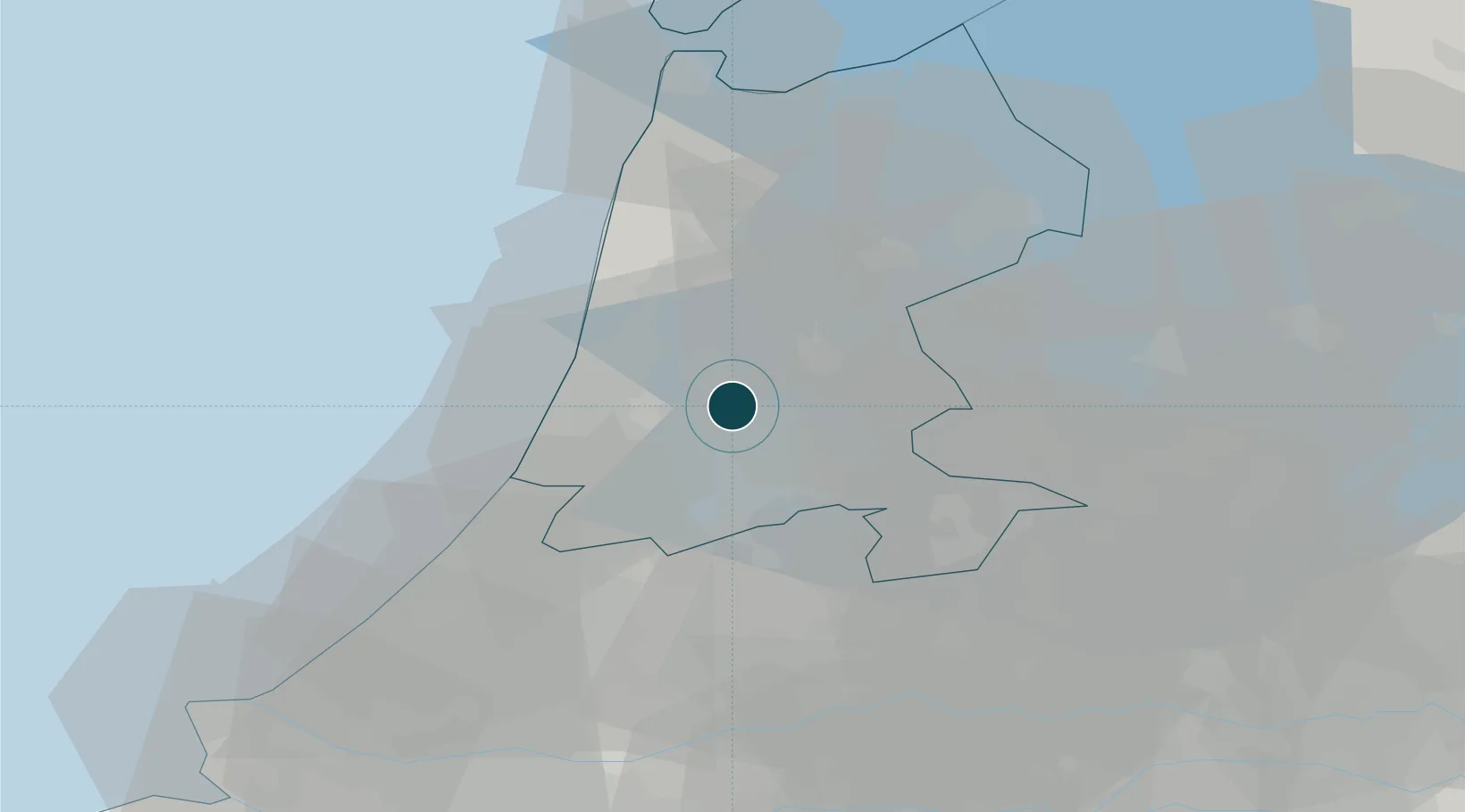
Location
Container Terminals · 1
CTVREDE WESTZAAN
CTVH CTVREDE B.V.
Nearby Logistics Neighbours
Ports
- 1Amsterdam9 km
- 2Ijmuiden17 km
- 3Scheveningen54 km
- 4Den Helder59 km
- 5Rotterdam64 km
Cities
- 1Zaanstad2 km
- 2Westzaan2 km
- 3Amsterdam4 km
- 4Haaldersbroek6 km
- 5Den Lip6 km
Airports
Trade Zones
- 1Freeport of Duisburg163 km
- 2Freeport of Emden187 km
- 3Rheinische Revier SWZ200 km
- 4ZFU Tourcoing223 km
- 5ZFU Hem et Roubaix226 km
DatabookThe Record of Consolidated Knowledge
Netherlands beyond logistics?