Transport Functions
Multimodal
Hub Profile
Place type
Populated place
Region
Friesland
Population
170
Time zone
Europe/Amsterdam
Elevation
2 m
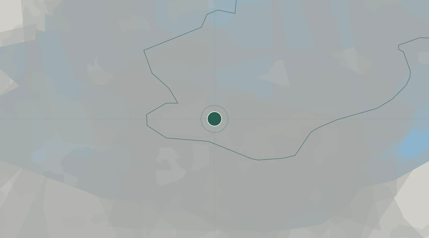
Location
Nearby Logistics Neighbours
Cities
- 1Almere6 km
- 2Muiderberg14 km
- 3Hakkelaarsbrug16 km
- 4Marken16 km
- 5Muiden17 km
Ports
- 1Amsterdam27 km
- 2Zaandam32 km
- 3Ijmuiden50 km
- 4Den Helder74 km
- 5Dordrecht77 km
Airports
Trade Zones
- 1Freeport of Duisburg137 km
- 2Freeport of Emden165 km
- 3Rheinische Revier SWZ180 km
- 4ZFU Tourcoing237 km
- 5ZFU Hem et Roubaix239 km
DatabookThe Record of Consolidated Knowledge
Netherlands beyond logistics?