Medium airport · Netherlands
Lelystad AirportEHLE
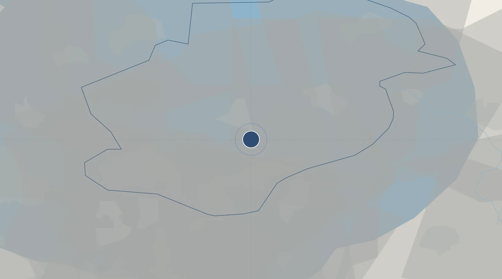
52.4532°, 5.5146°
8,858 ft
Longest runway
1
Runways
-13 ft
Elevation
Runway & Layout

Radio Frequencies
ATIS
120.73 MHz
Lelystad ATIS
TWR
135.18 MHz
Lelystad TWR
GND
123.68 MHz
Clearance Delivery
APP/DEP
119.055 MHz
Schiphol Approach/Departure
APP/DEP
121.205 MHz
Schiphol Approach/Departure
ARR
131.155 MHz
Schiphol Arrival
ARR
134.53 MHz
Lelystad Arrival
FIS
132.35 MHz
Dutch MIL Info
Navaids
PAM VOR-DME Pampus 117.80 MHz
Runways · 1
| Runway | Dimensions | Surface | True heading | Lit |
|---|---|---|---|---|
| 05/23 | 8,858 × 148ft | ASPH | 046° | ✓ |
Airport Specifications
IATA code
LEY
ICAO code
EHLE
Airport class
Medium airport
Scheduled service
No
Runway surface
ASPH
Served city
Lelystad
Location
Nearby Logistics Neighbours
Airports
Cities
- 1Ophemert10 km
- 2Zeewolde12 km
- 3Biddinghuizen13 km
- 4Lelystad13 km
- 5Harderwijk13 km
Ports
- 1Amsterdam43 km
- 2Zaandam46 km
- 3Ijmuiden63 km
- 4Den Helder75 km
- 5Harlingen82 km
Trade Zones
- 1Freeport of Duisburg134 km
- 2Freeport of Emden149 km
- 3Rheinische Revier SWZ182 km
- 4Freeport of Bremerhaven (Freihafen Bremerhaven)230 km
- 5ZFU Tourcoing252 km
DatabookThe Record of Consolidated Knowledge
Netherlands beyond logistics?