Free Trade Zone · Germany

Freeport of Bremerhaven (Freihafen Bremerhaven) Active
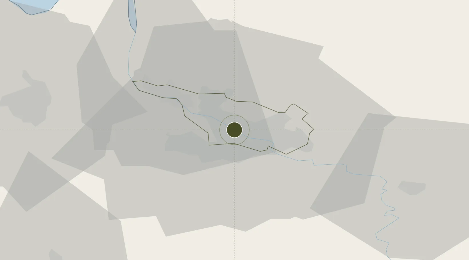
53.0918°, 8.7739°
8 ha
Zone area
4.6 km
Nearest port
5.1 km
Nearest airport

Gateway access

Nearest neighbours — logibook spatial index (haversine) over the source coordinates

Zone profile

Zone type
Free Trade Zone
Open Zone Map
Region
Bremen
Open Zone Map
Status
Active
Open Zone Map
Management
Public-Private Partnership
Open Zone Map
Operator
Hauptzollamt Bremen
Open Zone Map
Legal framework
Art. 1 Sec. 1 Sentence 1 Zollverwaltungsgesetz, Regulation (EU) No 952/2013 of the European Parliament and of the Council of 9 October 2013 laying down the Union Customs Code (recast)
Open Zone Map

Location

Location of ozm-2039
Natural Earth 10m (public domain) · Bremen · ozm-2039 · 53.09, 8.77GoogleOSMYandex

Nearby Logistics Neighbours

Ports
  1. 1Bremen5 km
  2. 2Elsfleth26 km
  3. 3Brake33 km
  4. 4Oldenburg37 km
  5. 5Nordenham48 km
Nearest neighbours — logibook spatial index (haversine) over the source coordinates
Airports
  1. 1Bremen Airport5 km
  2. 2Diepholz Air Base63 km
  3. 3Sea-Airport Cuxhaven/Nordholz / Nordholz Naval Airbase76 km
  4. 4Wunstorf Air Base83 km
  5. 5Hamburg-Finkenwerder Airport86 km
Nearest neighbours — logibook spatial index (haversine) over the source coordinates
Cities
  1. 1Bremen3 km
  2. 2Oslebshausen7 km
  3. 3Mittelsbüren9 km
  4. 4Ritterhude10 km
  5. 5Lilienthal11 km
Nearest neighbours — logibook spatial index (haversine) over the source coordinates
Trade Zones
  1. 1Freeport of Cuxhaven (Freihafen Cuxhaven)83 km
  2. 2Freeport of Emden109 km
  3. 3Freeport of Kiel166 km
  4. 4Freeport of Duisburg236 km
  5. 5Rheinische Revier SWZ293 km
Nearest neighbours — logibook spatial index (haversine) over the source coordinates
DatabookThe Record of Consolidated Knowledge
Germany beyond logistics?
Browse databook

All Sources

Trade ZonesOpen Zone Map
CC BY
Portsthe NGA World Port Index
Public domain (US gov)
AirportsOurAirports
Public domain
LocationsUN/LOCODE
UN/LOCODE — free
← Germany trade zones