Transport Functions
Multimodal
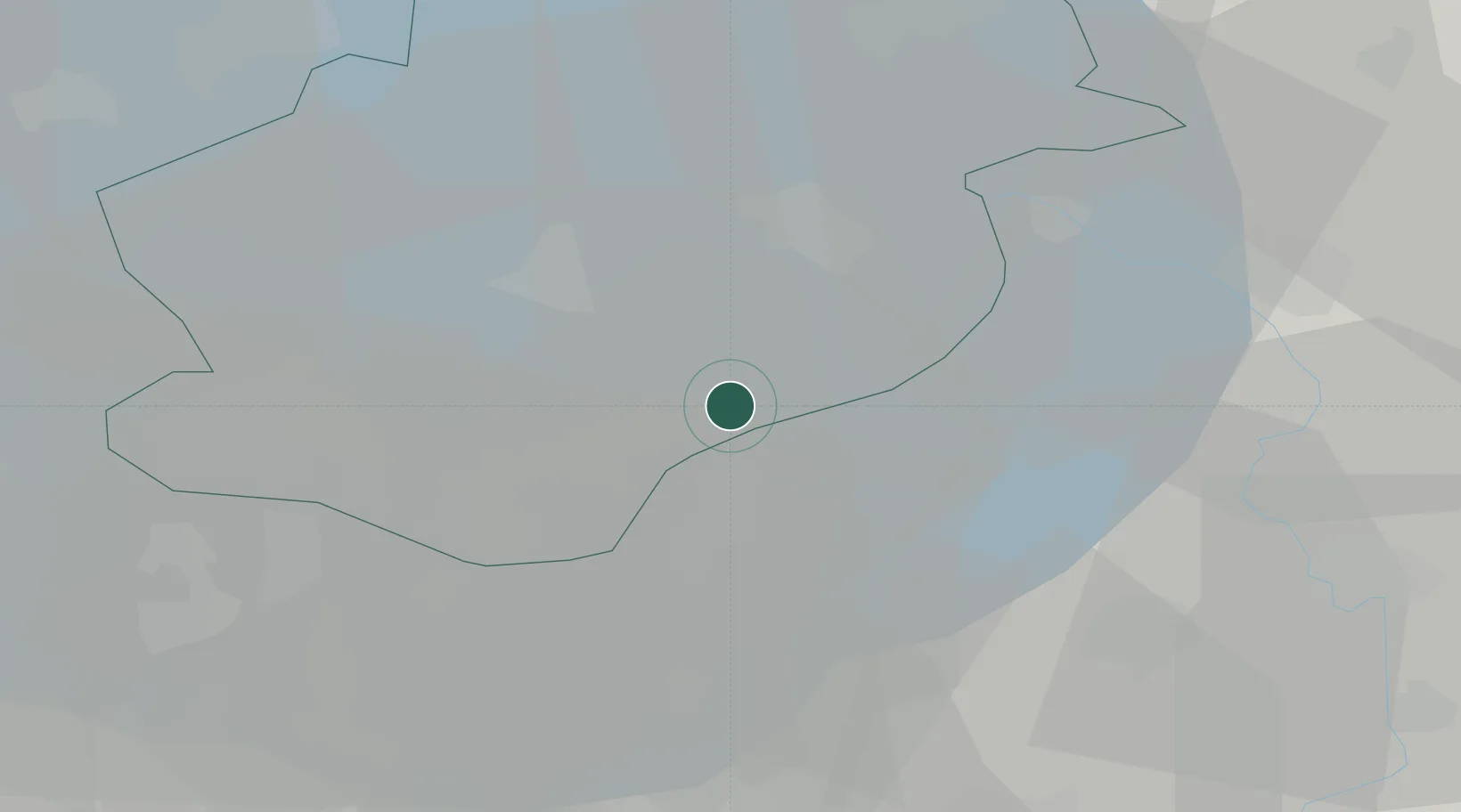
Hub Profile
Place type
Populated place
Region
Gelderland
Population
1,425
Time zone
Europe/Amsterdam
Elevation
5 m
Location
Nearby Logistics Neighbours
Cities
- 1Harderwijk4 km
- 2Biddinghuizen7 km
- 3Zeewolde8 km
- 4Lelystad20 km
- 5Ketelhaven22 km
Ports
- 1Amsterdam50 km
- 2Zaandam54 km
- 3Ijmuiden72 km
- 4Den Helder85 km
- 5Harlingen88 km
Airports
- 1Lelystad Airport10 km
- 2Deelen Air Base41 km
- 3Amsterdam Airport Schiphol60 km
- 4De Kooy Airfield / Den Helder Naval Air Station82 km
- 5Volkel Air Base83 km
Trade Zones
DatabookThe Record of Consolidated Knowledge
Netherlands beyond logistics?