UN/LOCODE hub · Netherlands
NLBNZ
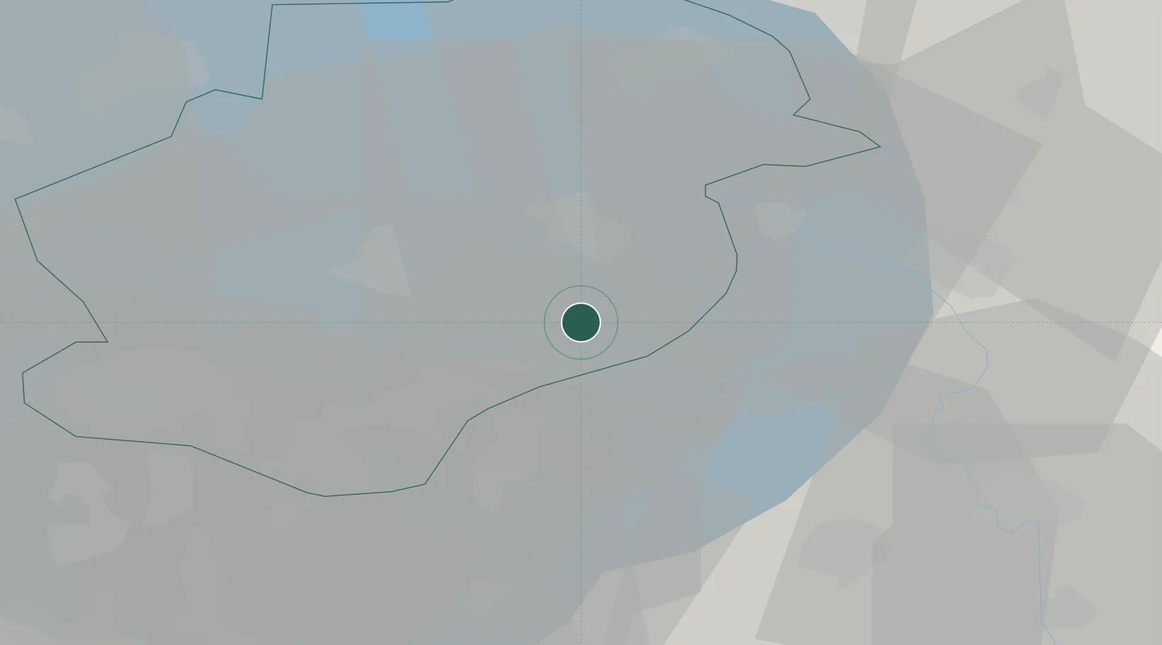
Biddinghuizen
52.4500°, 5.7000°
5,010
Population
2
Transport functions
Transport Functions
Port
Road
Hub Profile
Place type
Populated place
Region
Flevoland
Population
5,010
Time zone
Europe/Amsterdam
Elevation
-3 m
Location
Nearby Logistics Neighbours
Cities
- 1Ophemert7 km
- 2Harderwijk11 km
- 3Zeewolde15 km
- 4Ketelhaven15 km
- 5Lelystad18 km
Ports
- 1Amsterdam55 km
- 2Zaandam59 km
- 3Ijmuiden76 km
- 4Harlingen84 km
- 5Den Helder84 km
Airports
- 1Lelystad Airport13 km
- 2Deelen Air Base45 km
- 3Amsterdam Airport Schiphol66 km
- 4De Kooy Airfield / Den Helder Naval Air Station81 km
- 5Twente Airport83 km
Trade Zones
DatabookThe Record of Consolidated Knowledge
Netherlands beyond logistics?