Large airport · Netherlands
Amsterdam Airport SchipholEHAM
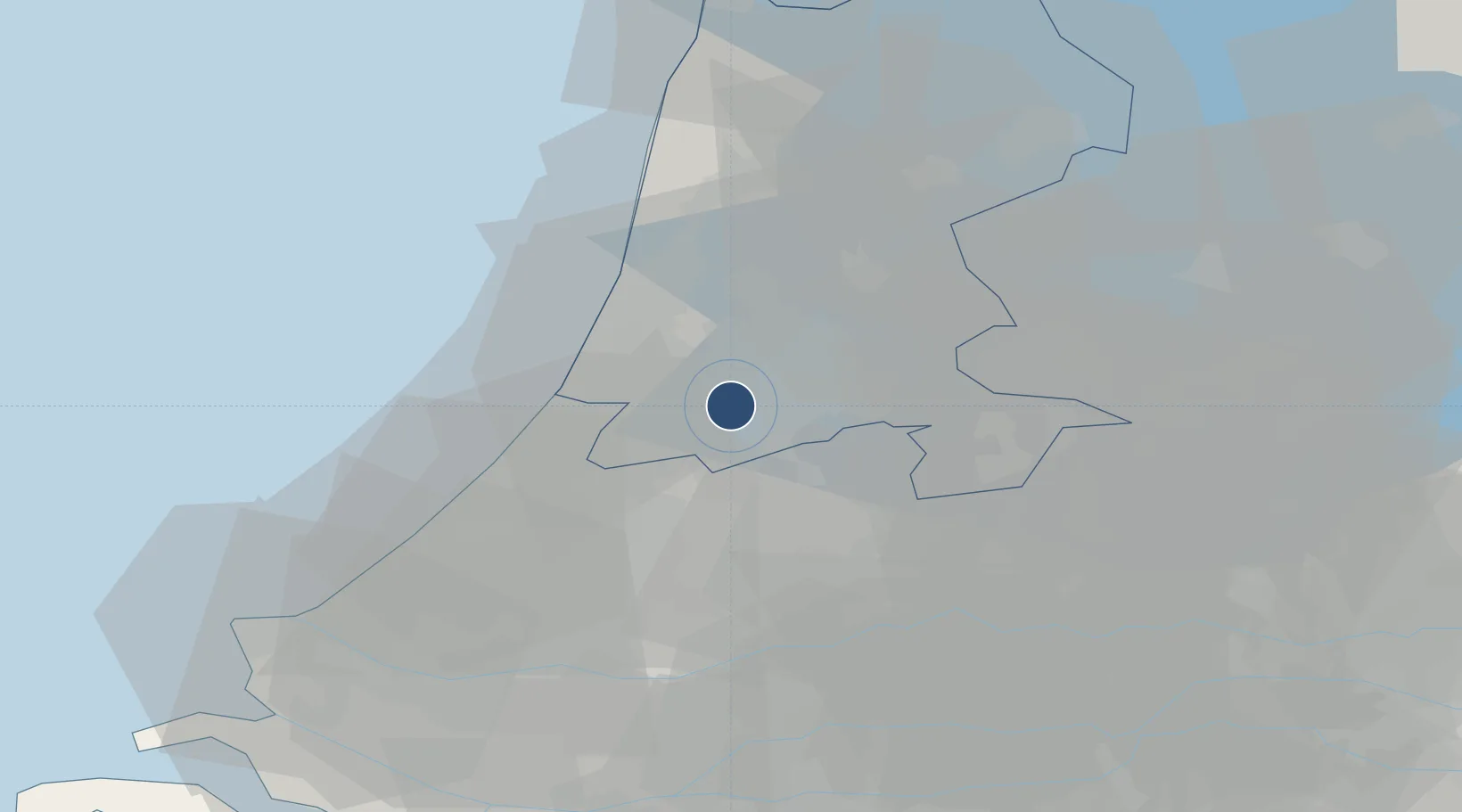
52.3086°, 4.7639°
12,467 ft
Longest runway
6
Runways
-11 ft
Elevation
Runway & Layout

Radio Frequencies
ATIS
122.2 MHz
Departure
ATIS
132.98 MHz
Arrival
TWR
118.105 MHz
RWY 18C/36L
TWR
118.28 MHz
RWY 18R/36L
TWR
119.23 MHz
RWY 04/22 18L/36R
TWR
135.11 MHz
RWY 6/24
GND
121.56 MHz
RWY 18R
GND
121.59 MHz
Schiphol Ground ATC Discretion
GND
121.705 MHz
RWY 6/24
GND
121.805 MHz
RWY 4/22 9/27 18L/36R
GND
121.905 MHz
RWY 18C/36C
CLD
121.655 MHz
Schiphol Planner
CLD
121.98 MHz
CLNC DEL
APP
119.055 MHz
Schiphol Approach
APP
121.205 MHz
Schiphol Approach
DEP
119.055 MHz
Schiphol Departure
DEP
121.205 MHz
Schiphol Departure
ARR
118.405 MHz
Schiphol Arrival
ARR
126.68 MHz
Schiphol Arrival
FIS
124.3 MHz
Amsterdam Information
RADAR
118.805 MHz
Amsterdam Radar ACC
RADAR
120.555 MHz
Amsterdam Radar ACC
RADAR
127.87 MHz
Amsterdam Radar ACC
Navaids
SPL VOR-DME Schiphol 108.40 MHz
SPY VOR-DME Spijkerboor 113.30 MHz
Runways · 6
| Runway | Dimensions | Surface | True heading | Lit |
|---|---|---|---|---|
| 18R/36L | 12,467 × 198ft | Asphalt | 183° | ✓ |
| 09/27 | 11,329 × 148ft | Asphalt | 087° | ✓ |
| 06/24 | 11,283 × 148ft | Asphalt | 058° | ✓ |
| 18L/36R | 11,155 × 148ft | Asphalt | 183° | ✓ |
| 18C/36C | 10,826 × 148ft | Asphalt | 183° | ✓ |
| 04/22 | 6,627 × 148ft | Asphalt | 041° | ✓ |
Airport Specifications
IATA code
AMS
ICAO code
EHAM
Airport class
Large airport
Scheduled service
Yes
Runway surface
Asphalt
Served city
Amsterdam
Location
Nearby Logistics Neighbours
Airports
Cities
- 1Lijnden5 km
- 2Aalsmeerderbrug5 km
- 3Rijsenhout7 km
- 4Vrouwenakker9 km
- 5Nieuwe Brug9 km
Ports
- 1Amsterdam11 km
- 2Zaandam15 km
- 3Ijmuiden21 km
- 4Scheveningen41 km
- 5Rotterdam49 km
Trade Zones
- 1Freeport of Duisburg158 km
- 2Rheinische Revier SWZ192 km
- 3Freeport of Emden199 km
- 4ZFU Tourcoing208 km
- 5ZFU Hem et Roubaix211 km
DatabookThe Record of Consolidated Knowledge
Netherlands beyond logistics?