Medium airport · Netherlands
De Kooy Airfield / Den Helder Naval Air StationEHKD
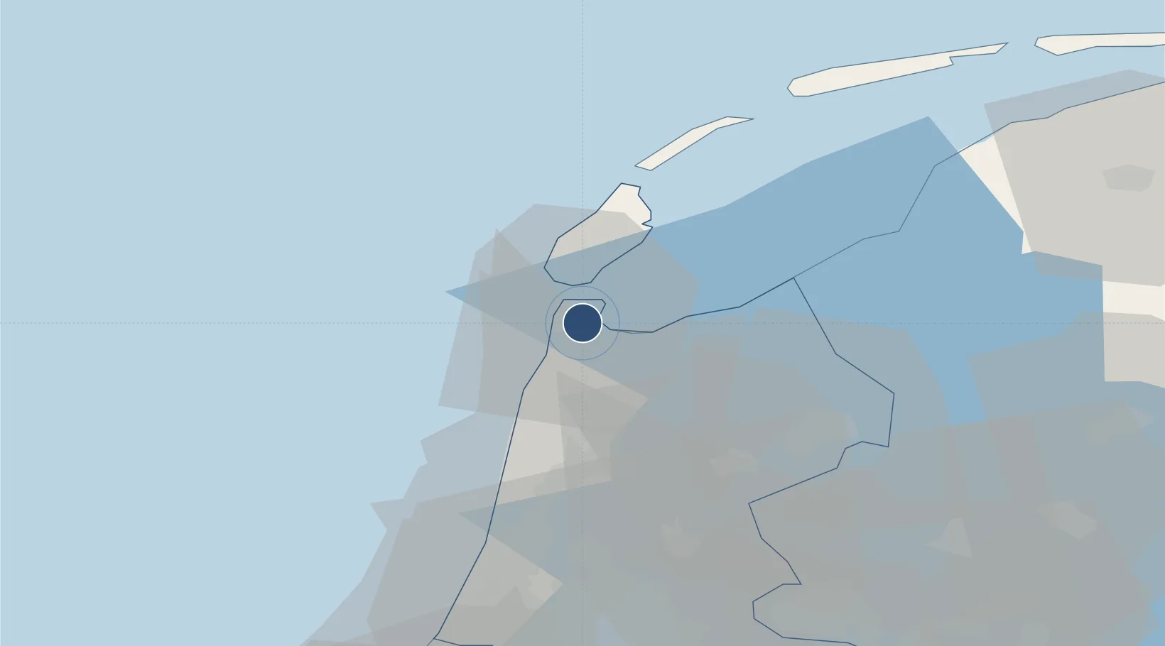
52.9234°, 4.7806°
4,183 ft
Longest runway
1
Runways
3 ft
Elevation
Runway & Layout

Radio Frequencies
ATIS
133.01 MHz
TWR
120.13 MHz
De Kooy Tower
GND
121.73 MHz
De Kooy Ground
APP
124.23 MHz
APP/ARR
FIS
132.35 MHz
Dutch MIL Info
Navaids
HDR VOR-DME Den Helder 115.55 MHz
Runways · 1
| Runway | Dimensions | Surface | True heading | Lit |
|---|---|---|---|---|
| 03/21 | 4,183 × 98ft | Concrete | 030° | ✓ |
Airport Specifications
IATA code
DHR
ICAO code
EHKD
Airport class
Medium airport
Scheduled service
No
Runway surface
Concrete
Served city
Den Helder
Location
Nearby Logistics Neighbours
Airports
- 1Amsterdam Airport Schiphol68 km
- 2Lelystad Airport72 km
- 3Leeuwarden Air Base74 km
- 4Rotterdam The Hague Airport110 km
- 5Deelen Air Base121 km
Cities
- 1De Kooy2 km
- 2Den Helder3 km
- 3't Horntje9 km
- 4Anna Paulowna9 km
- 5De Haukes11 km
Ports
- 1Den Helder5 km
- 2Harlingen51 km
- 3Ijmuiden53 km
- 4Zaandam55 km
- 5Amsterdam62 km
Trade Zones
- 1Freeport of Emden167 km
- 2Freeport of Duisburg205 km
- 3Rheinische Revier SWZ249 km
- 4Freeport of Bremerhaven (Freihafen Bremerhaven)268 km
- 5ZFU Tourcoing269 km
DatabookThe Record of Consolidated Knowledge
Netherlands beyond logistics?