UN/LOCODE hub · Netherlands
NLZBH

Oude Leye

53.2833°, 5.7167°
1
Transport functions

Transport Functions

Multimodal
UN/LOCODE

Hub Profile

Region
FR
GeoNames

Location

Location of NLZBH
Natural Earth 10m (public domain) · FR · NLZBH · 53.28, 5.72GoogleOSMYandex

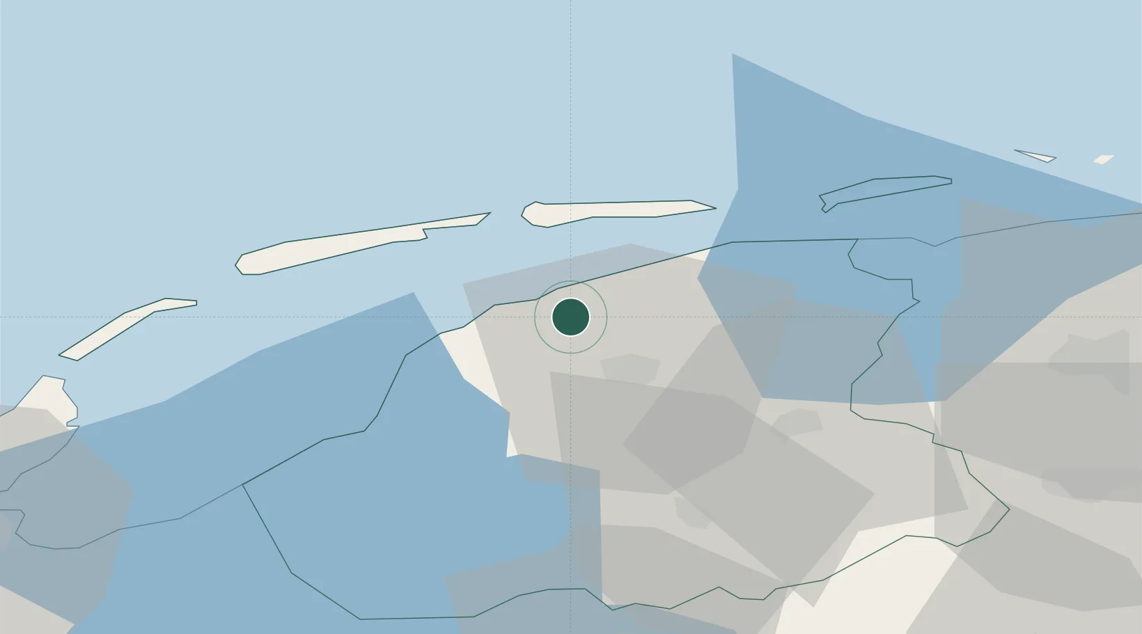
Nearby Logistics Neighbours

Cities
  1. 1Oude Bildtzijl2 km
  2. 2Britsum6 km
  3. 3Bartlehiem8 km
  4. 4Menaldum8 km
  5. 5Lekkum9 km
Nearest neighbours — logibook spatial index (haversine) over the source coordinates
Ports
  1. 1Harlingen23 km
  2. 2Den Helder72 km
  3. 3Eemshaven76 km
  4. 4Delfzijl81 km
  5. 5Emden98 km
Nearest neighbours — logibook spatial index (haversine) over the source coordinates
Airports
  1. 1Leeuwarden Air Base7 km
  2. 2Groningen Airport Eelde60 km
  3. 3De Kooy Airfield / Den Helder Naval Air Station74 km
  4. 4Borkum Airport74 km
  5. 5Lelystad Airport93 km
Nearest neighbours — logibook spatial index (haversine) over the source coordinates
Trade Zones
  1. 1Freeport of Emden98 km
  2. 2Freeport of Cuxhaven (Freihafen Cuxhaven)198 km
  3. 3Freeport of Bremerhaven (Freihafen Bremerhaven)205 km
  4. 4Freeport of Duisburg213 km
  5. 5Rheinische Revier SWZ268 km
Nearest neighbours — logibook spatial index (haversine) over the source coordinates
DatabookThe Record of Consolidated Knowledge
Netherlands beyond logistics?
Browse databook

All Sources

LocationsUN/LOCODE
UN/LOCODE — free
Portsthe NGA World Port Index
Public domain (US gov)
AirportsOurAirports
Public domain
Trade Zonesthe World Bank SEZ database
CC BY 4.0
Trade ZonesOpen Zone Map
CC BY
← Netherlands locations