Channel & Berth Profile
Pilotage, Tugs & Services
Pilotage compulsoryYES
Pilotage advisableYES
Tug assistanceYES
Potable waterYES
Diesel bunkersYES
MedicalYES
Garbage disposalYES
Facilities & Capabilities
Container—
Ro-Ro—
Liquid bulk—
Dry bulk—
Oil terminal—
Break bulk—
Dry dockNO
RepairsNO
BunkeringYES
Rail linkYES
Dangerous cargo—
ISPS security—
Harbour Specifications
Harbour size
Small
Harbour type
Coastal (Tide Gates)
Shelter
Good
Water body
North Sea; North Atlantic Ocean
Tidal range
3 m
Overhead limit
Yes
Pilotage
Yes
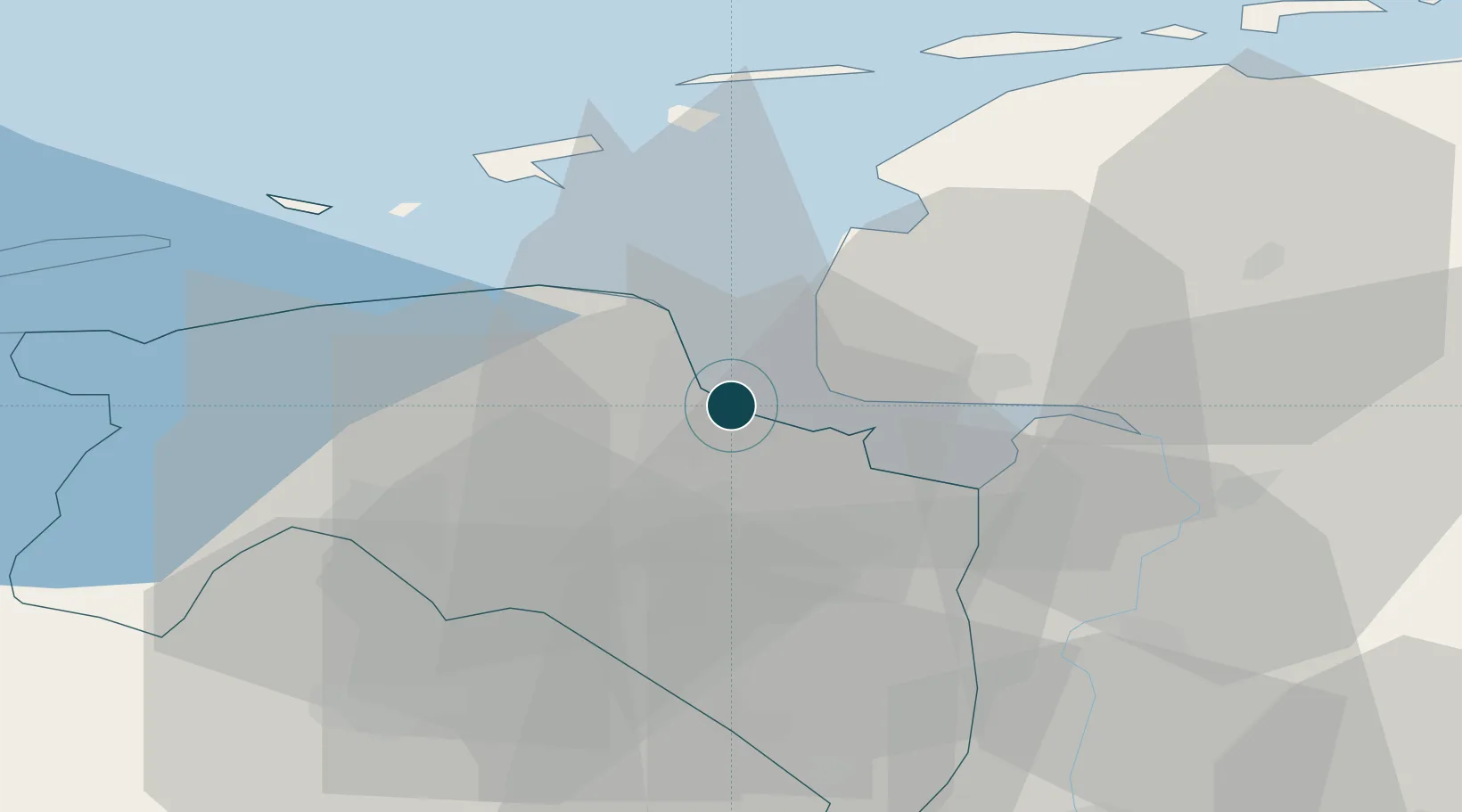
Location
Nearby Logistics Neighbours
Ports
- 1Eemshaven15 km
- 2Emden17 km
- 3Leer36 km
- 4Papenburg40 km
- 5Wilhelmshaven85 km
Cities
- 1Appingedam5 km
- 2Borgsweer7 km
- 3Lalleweer7 km
- 4Termunterzijl8 km
- 5Nieuwolda10 km
Airports
- 1Emden Airport21 km
- 2Borkum Airport33 km
- 3Groningen Airport Eelde34 km
- 4Norden-Norddeich Airport37 km
- 5Juist Airport40 km
Trade Zones
DatabookThe Record of Consolidated Knowledge
Netherlands beyond logistics?