Seaport · Germany

EmdenDEEME

53.3333°, 7.1833°
7.9 m
Channel depth
9.6
Port liner connectivity
Emden is also a UN/LOCODE logistics hub →

Channel & Berth Profile

SEA LEVEL (CD)CHANNEL BEDCargo pier · 6.4 mChannel · 7.9 mOil terminal · 9.4 mAnchorage · 11.0 m
NGA World Port Index

Pilotage, Tugs & Services

Pilotage compulsoryYES
Pilotage availableYES
Pilotage advisableYES
Tug assistanceYES
Shore powerYES
Diesel bunkersYES
MedicalYES
Garbage disposalYES
NGA World Port Index

Facilities & Capabilities

Container
Ro-Ro
Liquid bulk
Dry bulk
Oil terminal
Break bulk
Dry dockNO
RepairsNO
BunkeringYES
Rail linkYES
Dangerous cargo
ISPS security
NGA World Port Index

Harbour Specifications

Harbour size
Medium
NGA World Port Index
Harbour type
River (Tide Gates)
NGA World Port Index
Shelter
Good
NGA World Port Index
Water body
North Sea; North Atlantic Ocean
NGA World Port Index
Tidal range
3 m
NGA World Port Index
Overhead limit
Yes
NGA World Port Index
Pilotage
Yes
NGA World Port Index

Liner Connectivity

9.6
PLSCI

Port Liner Shipping Connectivity Index for Emden, as published by UNCTAD for the latest available quarter. Higher values indicate stronger scheduled liner-shipping integration.

Shown relative to the highest per-port PLSCI in the dataset (1,657.9).
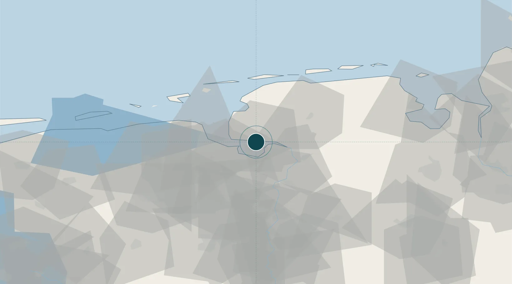
UNCTAD · Port Liner Shipping Connectivity Index

Location

Location of DEEME
Natural Earth 10m (public domain) · Groningen · DEEME · 53.33, 7.18GoogleOSMYandex

Nearby Logistics Neighbours

Ports
  1. 1Delfzijl17 km
  2. 2Leer21 km
  3. 3Eemshaven27 km
  4. 4Papenburg29 km
  5. 5Wilhelmshaven69 km
Nearest neighbours — logibook spatial index (haversine) over the source coordinates
Cities
  1. 1Ditzum7 km
  2. 2Oldersum10 km
  3. 3Termunterzijl11 km
  4. 4Nieuwe Statenzijl11 km
  5. 5Borgsweer12 km
Nearest neighbours — logibook spatial index (haversine) over the source coordinates
Airports
  1. 1Emden Airport7 km
  2. 2Norden-Norddeich Airport33 km
  3. 3Juist Airport40 km
  4. 4Wittmundhafen Air Base40 km
  5. 5Norderney Airport42 km
Nearest neighbours — logibook spatial index (haversine) over the source coordinates
Trade Zones
  1. 1Freeport of Emden1 km
  2. 2Freeport of Cuxhaven (Freihafen Cuxhaven)107 km
  3. 3Freeport of Bremerhaven (Freihafen Bremerhaven)109 km
  4. 4Freeport of Duisburg214 km
  5. 5Freeport of Kiel226 km
Nearest neighbours — logibook spatial index (haversine) over the source coordinates
DatabookThe Record of Consolidated Knowledge
Germany beyond logistics?
Browse databook

All Sources

Portsthe NGA World Port Index
Public domain (US gov)
Logistics performanceUNCTAD
CC BY 3.0 IGO
AirportsOurAirports
Public domain
LocationsUN/LOCODE
UN/LOCODE — free
Trade Zonesthe World Bank SEZ database
CC BY 4.0
Trade ZonesOpen Zone Map
CC BY
← Germany ports