Medium airport · Netherlands

Leeuwarden Air BaseEHLW
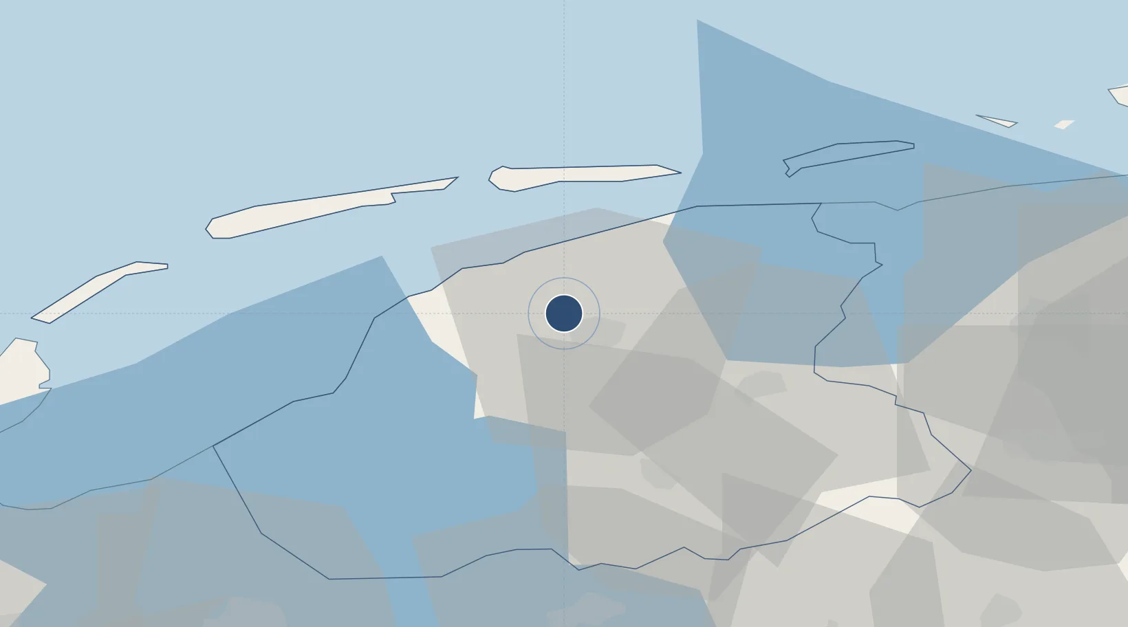
53.2286°, 5.7606°
8,045 ft
Longest runway
2
Runways
3 ft
Elevation

Runway & Layout

Leeuwarden Air Base runway & taxiway layout
Runway & taxiway layout — OpenStreetMap (ODbL) / OurAirports

Radio Frequencies

TWR
120.705 MHz
Leeuwarden Tower
APP
132.03 MHz
RAPCON NORTH
ARR
132.03 MHz
Leeuwarden Arrival
CENTER
128.355 MHz
Dutch Military Center
OurAirports

Navaids

LWD TACAN Leeuwarden 114.70 MHz
OurAirports

Runways · 2

RunwayDimensions SurfaceTrue headingLit
05/23 8,045 × 164ft Asphalt 053°
09/27 6,562 × 164ft Asphalt 088°
OurAirports

Airport Specifications

IATA code
LWR
OurAirports
ICAO code
EHLW
OurAirports
Airport class
Medium airport
OurAirports
Scheduled service
No
OurAirports
Runway surface
Asphalt
OurAirports
Served city
Leeuwarden
OurAirports

Location

Location of EHLW
Natural Earth 10m (public domain) · Friesland · EHLW · 53.23, 5.76GoogleOSMYandex

Nearby Logistics Neighbours

Airports
  1. 1Groningen Airport Eelde56 km
  2. 2De Kooy Airfield / Den Helder Naval Air Station74 km
  3. 3Borkum Airport75 km
  4. 4Lelystad Airport88 km
  5. 5Emden Airport99 km
Nearest neighbours — logibook spatial index (haversine) over the source coordinates
Cities
  1. 1Britsum3 km
  2. 2Lekkum4 km
  3. 3Leeuwarden5 km
  4. 4Menaldum6 km
  5. 5Oude Leye7 km
Nearest neighbours — logibook spatial index (haversine) over the source coordinates
Ports
  1. 1Harlingen23 km
  2. 2Den Helder72 km
  3. 3Eemshaven75 km
  4. 4Delfzijl79 km
  5. 5Emden95 km
Nearest neighbours — logibook spatial index (haversine) over the source coordinates
Trade Zones
  1. 1Freeport of Emden96 km
  2. 2Freeport of Cuxhaven (Freihafen Cuxhaven)197 km
  3. 3Freeport of Bremerhaven (Freihafen Bremerhaven)202 km
  4. 4Freeport of Duisburg206 km
  5. 5Rheinische Revier SWZ261 km
Nearest neighbours — logibook spatial index (haversine) over the source coordinates
DatabookThe Record of Consolidated Knowledge
Netherlands beyond logistics?
Browse databook

All Sources

AirportsOurAirports
Public domain
Portsthe NGA World Port Index
Public domain (US gov)
LocationsUN/LOCODE
UN/LOCODE — free
Trade Zonesthe World Bank SEZ database
CC BY 4.0
Trade ZonesOpen Zone Map
CC BY
InfrastructureOpenStreetMap
ODbL 1.0
← Netherlands airports