Large airport · Netherlands

Groningen Airport EeldeEHGG
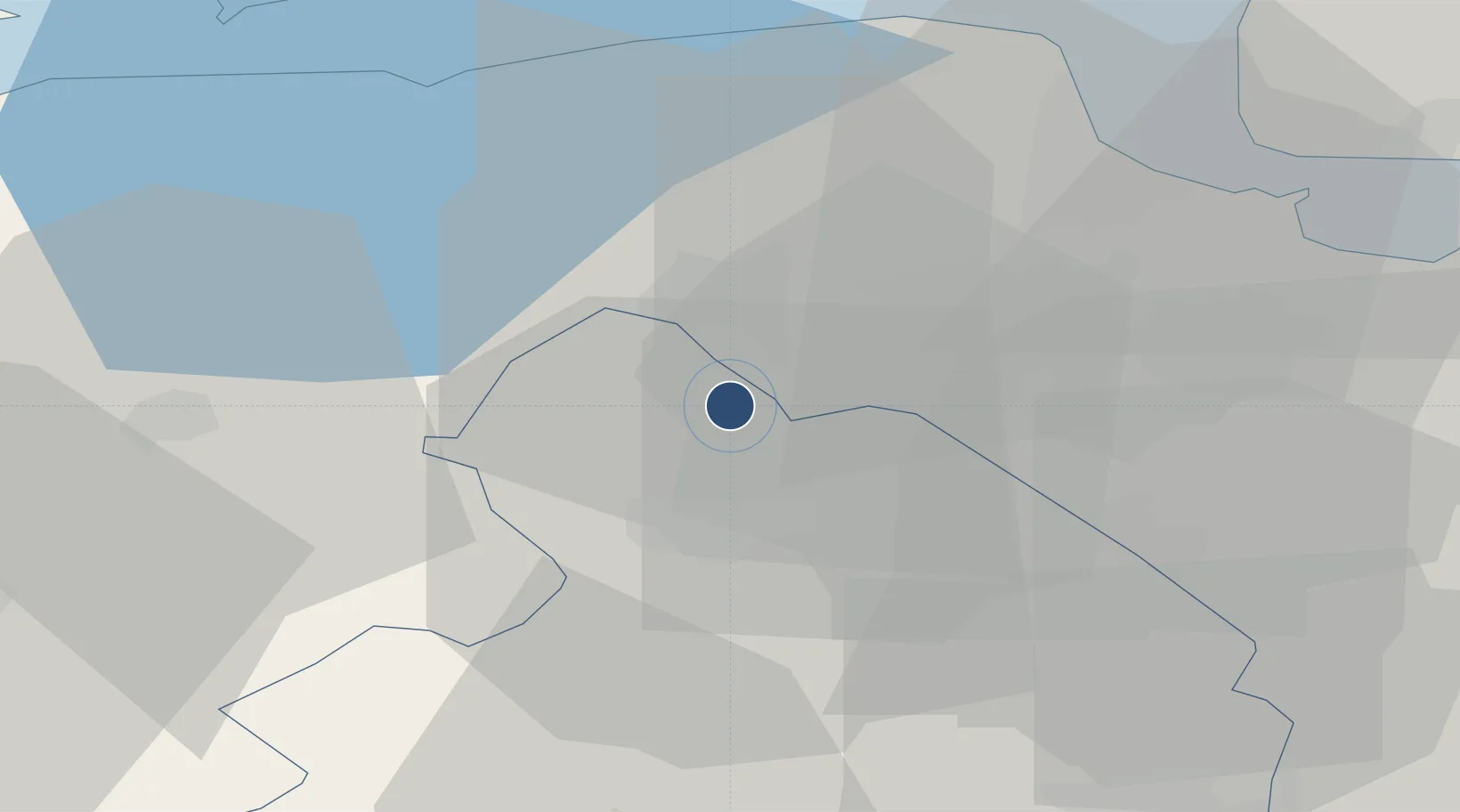
53.1191°, 6.5777°
8,202 ft
Longest runway
1
Runways
17 ft
Elevation

Runway & Layout

Groningen Airport Eelde runway & taxiway layout
Runway & taxiway layout — OpenStreetMap (ODbL) / OurAirports

Radio Frequencies

ATIS
133.555 MHz
TWR
118.705 MHz
Eelde Tower
APP
120.305 MHz
Eelde Approach
GCD
121.705 MHz
Eelde GND/CLNC DEL
OurAirports

Navaids

EEL VOR-DME Eelde 112.40 MHz
SO NDB Eelde 330 kHz
OurAirports

Runways · 1

RunwayDimensions SurfaceTrue headingLit
05/23 8,202 × 148ft Asphalt 052°
OurAirports

Airport Specifications

IATA code
GRQ
OurAirports
ICAO code
EHGG
OurAirports
Airport class
Large airport
OurAirports
Scheduled service
Yes
OurAirports
Runway surface
Asphalt
OurAirports
Served city
Groningen
OurAirports

Location

Location of EHGG
Natural Earth 10m (public domain) · Drenthe · EHGG · 53.12, 6.58GoogleOSMYandex

Nearby Logistics Neighbours

Airports
  1. 1Emden Airport53 km
  2. 2Borkum Airport54 km
  3. 3Leeuwarden Air Base56 km
  4. 4Juist Airport70 km
  5. 5Norden-Norddeich Airport70 km
Nearest neighbours — logibook spatial index (haversine) over the source coordinates
Cities
  1. 1Haren6 km
  2. 2Peize6 km
  3. 3Zuidlaren7 km
  4. 4Waterhuizen9 km
  5. 5Langelo9 km
Nearest neighbours — logibook spatial index (haversine) over the source coordinates
Ports
  1. 1Delfzijl34 km
  2. 2Eemshaven41 km
  3. 3Emden47 km
  4. 4Papenburg54 km
  5. 5Leer60 km
Nearest neighbours — logibook spatial index (haversine) over the source coordinates
Trade Zones
  1. 1Freeport of Emden47 km
  2. 2Freeport of Bremerhaven (Freihafen Bremerhaven)147 km
  3. 3Freeport of Cuxhaven (Freihafen Cuxhaven)153 km
  4. 4Freeport of Duisburg186 km
  5. 5Rheinische Revier SWZ246 km
Nearest neighbours — logibook spatial index (haversine) over the source coordinates
DatabookThe Record of Consolidated Knowledge
Netherlands beyond logistics?
Browse databook

All Sources

AirportsOurAirports
Public domain
Portsthe NGA World Port Index
Public domain (US gov)
LocationsUN/LOCODE
UN/LOCODE — free
Trade Zonesthe World Bank SEZ database
CC BY 4.0
Trade ZonesOpen Zone Map
CC BY
InfrastructureOpenStreetMap
ODbL 1.0
← Netherlands airports