UN/LOCODE hub · Netherlands
NLLKK

Lekkum

53.2333°, 5.8167°
400
Population
1
Transport functions

Transport Functions

Multimodal
UN/LOCODE

Hub Profile

Place type
Populated place
GeoNames
Region
Friesland
GeoNames
Population
400
GeoNames
Time zone
Europe/Amsterdam
GeoNames
Elevation
0 m
GeoNames

Location

Location of NLLKK
Natural Earth 10m (public domain) · Friesland · NLLKK · 53.23, 5.82GoogleOSMYandex

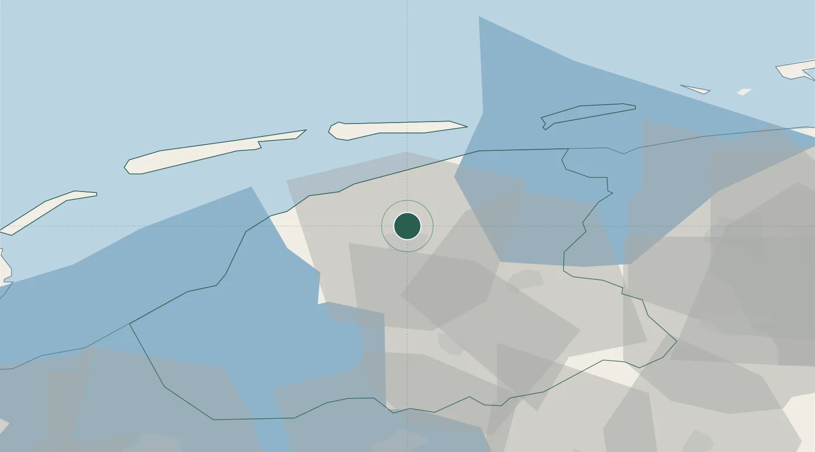
Nearby Logistics Neighbours

Cities
  1. 1Britsum3 km
  2. 2Bartlehiem6 km
  3. 3Hempens6 km
  4. 4Leeuwarden6 km
  5. 5Birdaard9 km
Nearest neighbours — logibook spatial index (haversine) over the source coordinates
Ports
  1. 1Harlingen27 km
  2. 2Eemshaven72 km
  3. 3Delfzijl75 km
  4. 4Den Helder75 km
  5. 5Emden92 km
Nearest neighbours — logibook spatial index (haversine) over the source coordinates
Airports
  1. 1Leeuwarden Air Base4 km
  2. 2Groningen Airport Eelde52 km
  3. 3Borkum Airport72 km
  4. 4De Kooy Airfield / Den Helder Naval Air Station77 km
  5. 5Lelystad Airport89 km
Nearest neighbours — logibook spatial index (haversine) over the source coordinates
Trade Zones
  1. 1Freeport of Emden92 km
  2. 2Freeport of Cuxhaven (Freihafen Cuxhaven)193 km
  3. 3Freeport of Bremerhaven (Freihafen Bremerhaven)198 km
  4. 4Freeport of Duisburg206 km
  5. 5Rheinische Revier SWZ261 km
Nearest neighbours — logibook spatial index (haversine) over the source coordinates
DatabookThe Record of Consolidated Knowledge
Netherlands beyond logistics?
Browse databook

All Sources

LocationsUN/LOCODE
UN/LOCODE — free
LocationsGeoNames
CC BY 4.0
Portsthe NGA World Port Index
Public domain (US gov)
AirportsOurAirports
Public domain
Trade Zonesthe World Bank SEZ database
CC BY 4.0
Trade ZonesOpen Zone Map
CC BY
← Netherlands locations