UN/LOCODE hub · Netherlands
NLMNU

Menaldum

53.2167°, 5.6667°
2
Transport functions

Transport Functions

Port
Road
UN/LOCODE

Hub Profile

Region
FR
GeoNames

Location

Location of NLMNU
Natural Earth 10m (public domain) · FR · NLMNU · 53.22, 5.67GoogleOSMYandex

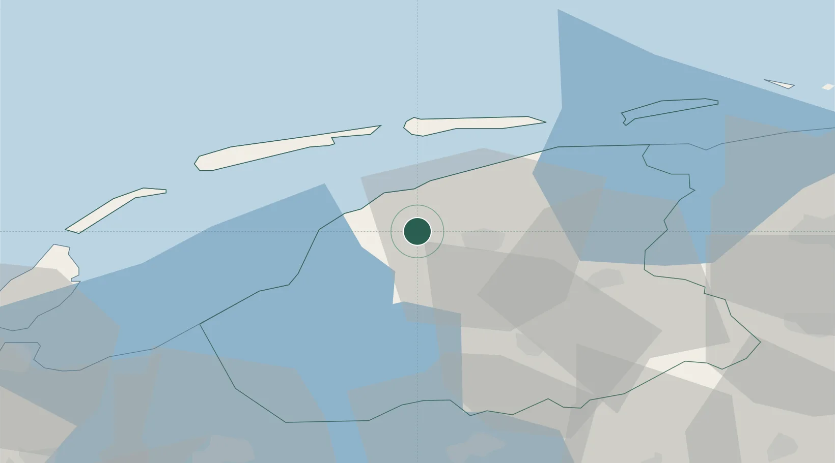
Nearby Logistics Neighbours

Cities
  1. 1Welsrijp7 km
  2. 2Leeuwarden7 km
  3. 3Oude Leye8 km
  4. 4Britsum9 km
  5. 5Oosterlittens9 km
Nearest neighbours — logibook spatial index (haversine) over the source coordinates
Ports
  1. 1Harlingen17 km
  2. 2Den Helder65 km
  3. 3Eemshaven82 km
  4. 4Delfzijl85 km
  5. 5Emden102 km
Nearest neighbours — logibook spatial index (haversine) over the source coordinates
Airports
  1. 1Leeuwarden Air Base6 km
  2. 2Groningen Airport Eelde62 km
  3. 3De Kooy Airfield / Den Helder Naval Air Station68 km
  4. 4Borkum Airport81 km
  5. 5Lelystad Airport86 km
Nearest neighbours — logibook spatial index (haversine) over the source coordinates
Trade Zones
  1. 1Freeport of Emden102 km
  2. 2Freeport of Cuxhaven (Freihafen Cuxhaven)203 km
  3. 3Freeport of Duisburg207 km
  4. 4Freeport of Bremerhaven (Freihafen Bremerhaven)208 km
  5. 5Rheinische Revier SWZ261 km
Nearest neighbours — logibook spatial index (haversine) over the source coordinates
DatabookThe Record of Consolidated Knowledge
Netherlands beyond logistics?
Browse databook

All Sources

LocationsUN/LOCODE
UN/LOCODE — free
Portsthe NGA World Port Index
Public domain (US gov)
AirportsOurAirports
Public domain
Trade Zonesthe World Bank SEZ database
CC BY 4.0
Trade ZonesOpen Zone Map
CC BY
← Netherlands locations