Transport Functions
Rail
Multimodal
Hub Profile
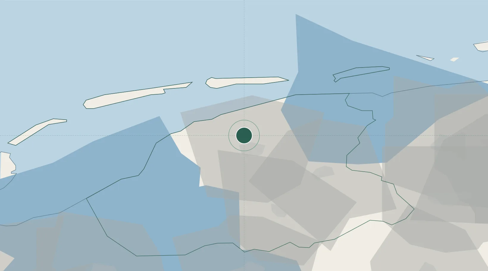
Place type
Populated place
Region
Friesland
Population
910
Time zone
Europe/Amsterdam
Elevation
2 m
Location
Nearby Logistics Neighbours
Cities
- 1Lekkum3 km
- 2Bartlehiem5 km
- 3Oude Leye6 km
- 4Leeuwarden7 km
- 5Oude Bildtzijl7 km
Ports
- 1Harlingen26 km
- 2Eemshaven73 km
- 3Den Helder74 km
- 4Delfzijl77 km
- 5Emden94 km
Airports
Trade Zones
DatabookThe Record of Consolidated Knowledge
Netherlands beyond logistics?