Small airport · Germany
Borkum AirportEDWR
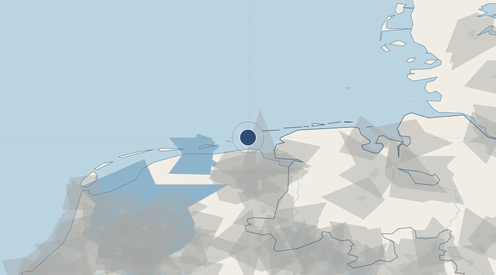
53.5964°, 6.7092°
3,281 ft
Longest runway
3
Runways
3 ft
Elevation
Runway & Layout

Radio Frequencies
AFIS
128.525 MHz
Langen Information
INFO
121.21 MHz
Borken Radio
Runways · 3
| Runway | Dimensions | Surface | True heading | Lit |
|---|---|---|---|---|
| 13/31 | 3,281 × 66ft | Asphalt | 128° | ✓ |
| 12/30 | 2,854 × 131ft | Grass | 118° | — |
| 05/23 | 2,657 × 131ft | Grass | 045° | — |
Airport Specifications
IATA code
BMK
ICAO code
EDWR
Airport class
Small airport
Scheduled service
Yes
Runway surface
Asphalt
Served city
Borkum
Location
Nearby Logistics Neighbours
Airports
- 1Juist Airport25 km
- 2Norden-Norddeich Airport32 km
- 3Norderney Airport37 km
- 4Emden Airport41 km
- 5Baltrum Airport46 km
Trade Zones
DatabookThe Record of Consolidated Knowledge
Germany beyond logistics?