UN/LOCODE hub · Netherlands
NLOBZ
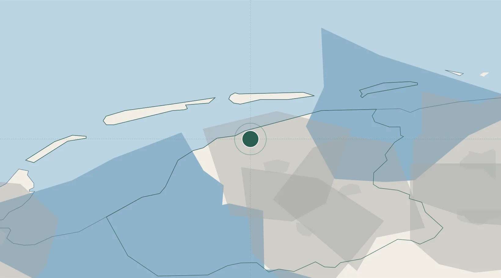
Oude Bildtzijl
53.3000°, 5.7167°
680
Population
1
Transport functions
Transport Functions
Multimodal
Hub Profile
Place type
Populated place
Region
Friesland
Population
680
Time zone
Europe/Amsterdam
Elevation
1 m
Location
Nearby Logistics Neighbours
Cities
- 1Oude Leye2 km
- 2Britsum7 km
- 3Bartlehiem8 km
- 4Menaldum10 km
- 5Lekkum10 km
Ports
- 1Harlingen24 km
- 2Den Helder73 km
- 3Eemshaven76 km
- 4Delfzijl81 km
- 5Emden98 km
Airports
Trade Zones
DatabookThe Record of Consolidated Knowledge
Netherlands beyond logistics?